What is recorded here
No human appears in the supplied facts, and the request bans inventing a new exact person. I can still tell the named place without pretending to know more than you gave me.
Depicted on first edition of the OS 6-inch map (1839) as a circular enclosure but shown as an oval-shaped earthwork (approx. dims. 23m N-S; 40m E-W) on current edition of the OS 6-inch map.
Situated on top of natural hillock in undulating countryside with good views in all directions. Impressive circular raised area (diam. 26m N-S) defined by an earth and stone bank (Top Wth 1m; Base Wth 2m; int. H 0.4m; ext. H 0.3m - 1.5m) with entrance gap (Wth 4m) at SW. Large quarry (D 2m) from E to S has cut into E and SE quadrant of ringfort. This quarry is depicted on the first edition of the OS 6-inch map but has been enlarged and has resulted in the destruction of the E and SE quadrants of the ringforts interior. Interior of site slopes from N to S following the slop of the hillock on which it is located. The N quadrant of the ringfort interior is raised up much higher than the S quadrant. This raising of the platform is due to the natural slope of the hillock. There is a lot of rock on the surface of the ringfort interior and int e exposed E and Se faces of the ringfort one can see a lot of rock just below the surface of the ringfort. A modern graveyard is located immediately to the S of this ringfort.
Compiled by: Caimin O'Brien
Date of upload: 17 December 2007
The monument record does not grant public access. Check the route and ask the landowner before entering private land.
- What survives
- Recorded monument
Places near here
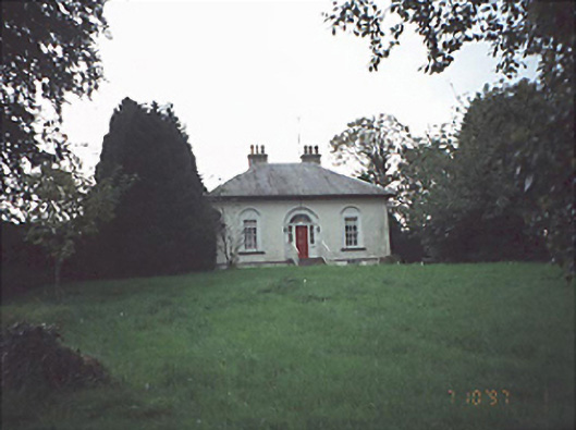 Erkin Viewhouse · 798 yd
 Enclosure in Johnstown GlebeEnclosure · 996 yd
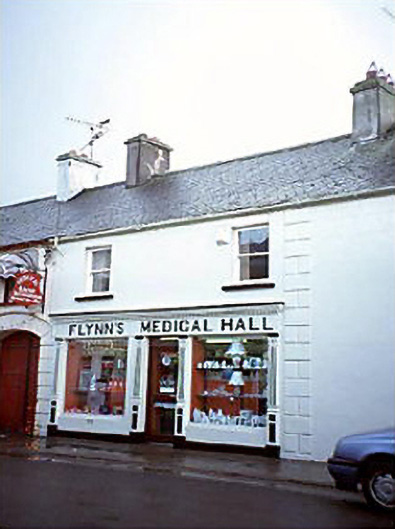 Flynn's Medical HallOfficially recorded historic building · 1083 yd
 Donaghmore Castle ruinsCastle · 1638 yd
 Enclosure in LyrogeEnclosure · 1.1 mi
 Donaghmore MoatCastle, motte · 1.1 mi
 Cnoc SeanrathaMemorial · 4.1 mi
 Big WoodWood · 4.4 mi
 Clonmeen WoodWood · 4.5 mi
 Tullow HillMountain / peak · 6.1 mi
 DelaneyMemorial · 7.8 mi
 College HillMountain / peak · 10 mi