What is recorded here
Fairy fort in Inishkenny, County Cork: a rough circular ridge, 51.8 metres north-south and 43.9 metres east-west, with an earthen bank standing 1.05 metres inside and 1.95 metres outside, and a 3.5-metre gap facing north-north-west. It sits in pasture on a north-facing slope, simple enough to walk around and large enough to stop a person pretending the land is empty. The name fairy fort may be mockery, wonder or warning; the shape suggests people made it, and the gap suggests they kept coming back.
In pasture, on N-facing slope. Roughly circular, raised area (51.8m N-S; 43.9m E-W) enclosed by earthen bank (int. H 1.05m; ext. H 1.95m). Entrance (Wth 3.5m) to NNW.
The above description is derived from the published 'Archaeological Inventory of County Cork. Volume 2: East and South Cork' (Dublin: Stationery Office, 1994). In certain instances the entries have been revised and updated in the light of recent research.
Date of upload/revision: 14 January 2009
The monument record does not grant public access. Check the route and ask the landowner before entering private land.
- What survives
- Recorded monument
Places near here
 Grave YdGraveyard · 487 yd
 sign postsign post · 688 yd
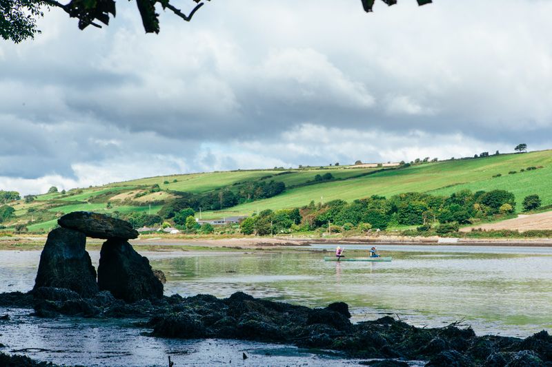 Fulacht FianFulacht fia · 803 yd
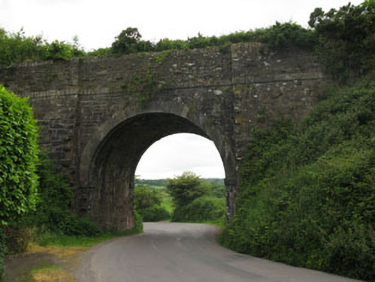 bridgebridge · 809 yd
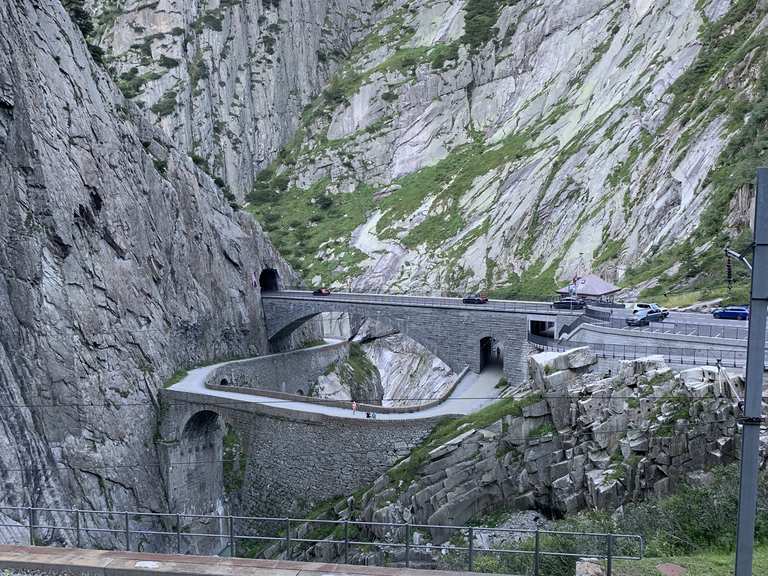 Monument WaterfallMonument · 817 yd
 waterfallVisitor information · 818 yd
 Graveyard in BallynoraGraveyard · 1148 yd
 Corbally Montessori & Early Years' Pre-schoolVisitor information · 1742 yd
 Caslte (Site of)Castle, unclassified · 1.1 mi
 Rumley's Open FarmHeritage attraction · 1.2 mi
 Sunday WellSpring · 1.5 mi
 Ballyburden Castle (Site of)Castle, unclassified · 2.3 mi