What is recorded here
Located on a slight W-facing slope. The cropmark of an enclosure defined by an inner (diam. c. 30m) and outer (diam. c. 50m) fosse features is visible on aerial photographs (ASIAP (3) 21-5). This may be the rath called the Rath of Ragow in the description of the boundary between Kilturk and Kilmore parishes in the Civil Survey (1654-6) (Simington 1953, 130).
Compiled by: Michael Moore
Date of upload: 16 October, 2013
The monument record does not grant public access. Check the route and ask the landowner before entering private land.
- What survives
- Recorded monument
Places near here
 Not inidcatedFairy fort / earthen ringfort · 956 yd
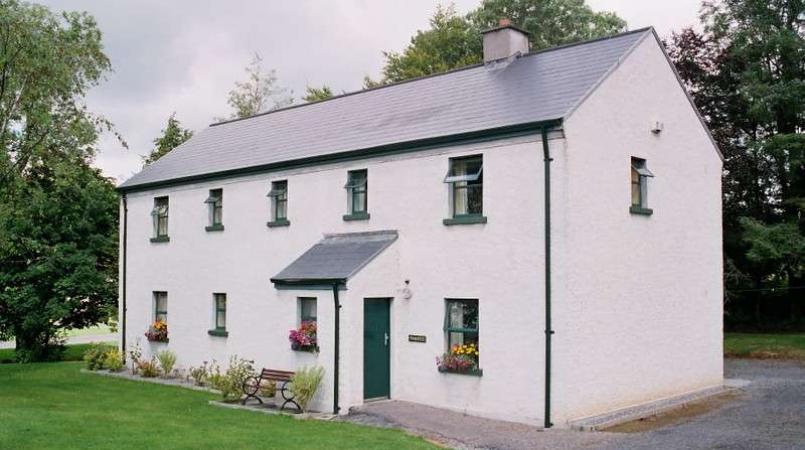 Enclosure in LannaghEnclosure · 1187 yd
 Convent of Saint John of Godconvent/nunnery · 1199 yd
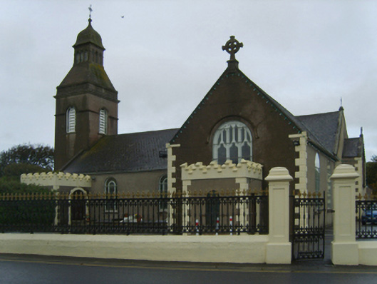 Catholic Church of the Blessed Virgin Mary, Saint Anne and Saint Josephchurch/chapel · 1206 yd
 CastleCastle, unclassified · 1.1 mi
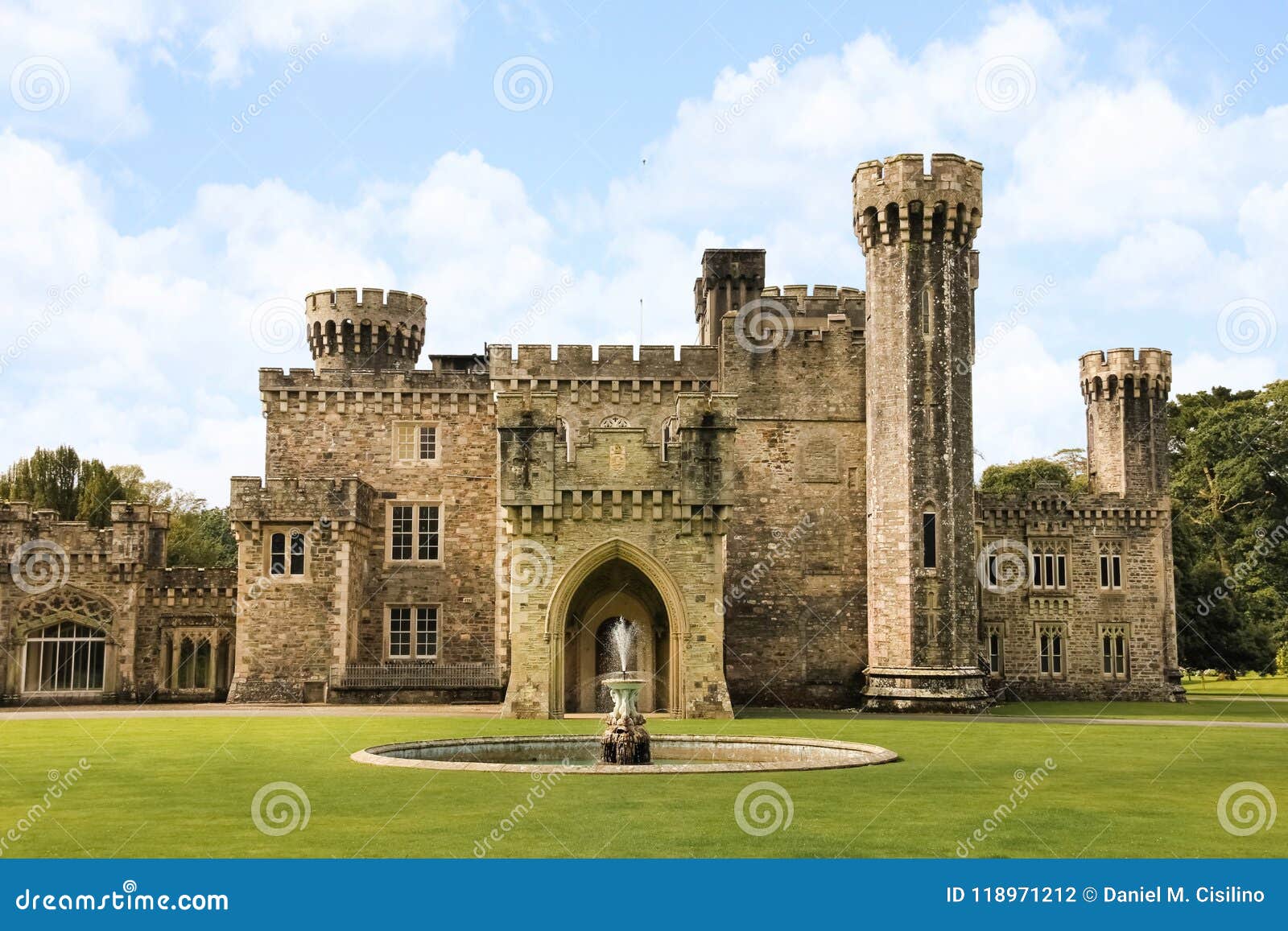 site of CastleCastle, unclassified · 1.2 mi
 Ballyhealy BeachBeach / strand · 2.3 mi
 1798 Memorial PlaqueMemorial · 2.7 mi
 Ivan Sutton Art ExhibitionGallery · 2.9 mi
 The Bull RockForest · 3.0 mi
 Kilmore Quay - Crehen Twinning MemorialMemorial · 3.0 mi
 The Heron's MeadowForest · 3.1 mi