What is recorded here
Gurteennakilla holds a circular earthen ringfort thirty-three metres wide on an NE-facing slope in County Cork. The slight rise and low scarp mark a boundary where human hands shaped the land before memory faded. cattle may have grazed the pasture above it while people lived inside the ridge, reading the slope for rain, heat or danger. The fort remains quiet, but its shape still insists that the place was claimed, defended and remembered.
In pasture, on break in NE-facing slope. Circular slightly raised area (29.5m N-S; 33.6m E-W) defined by scarp (H 0.6m).
The above description is derived from the published 'Archaeological Inventory of County Cork. Volume 1: West Cork' (Dublin: Stationery Office, 1992). In certain instances the entries have been revised and updated in the light of recent research.
Date of upload/revision: 14 January 2009
The monument record does not grant public access. Check the route and ask the landowner before entering private land.
- What survives
- Recorded monument
Places near here
 Childrens Burial Gd (Disused)Burial ground · 1183 yd
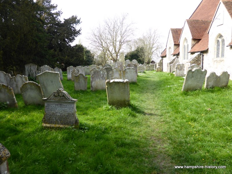 Childrens Burial GdBurial ground · 1298 yd
 farm housefarm house · 1304 yd
 Rathruane Bridgebridge · 1.1 mi
 Danno O’Mahony statueMemorial · 1.7 mi
 Ballydehob's 3-Arch Road BridgeVisitor information · 1.8 mi
 The 12-Arch Railway ViaductVisitor information · 1.9 mi
 KnockaphukeenMountain / peak · 2.1 mi
 Mount CorrinMountain / peak · 2.1 mi
 Barnageehy Loop WalkWalking route · 2.3 mi
 Mannion's Island (Small)Islet · 3.6 mi
 Mannion's Island (Large)Islet · 3.6 mi