
What is recorded here
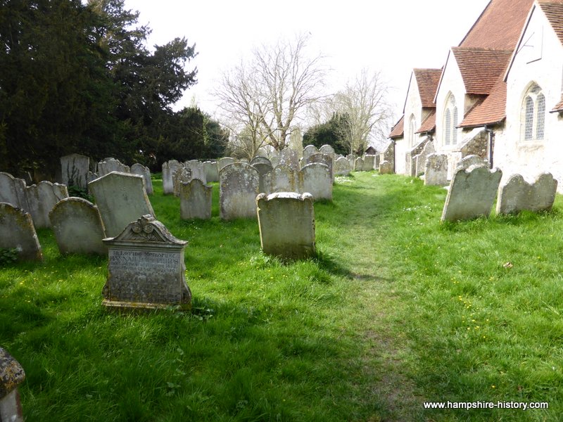
Marked 'Burial Ground' on OS 6-inch map (1842). In pasture on N-facing slope. Irregular area of rock outcrop defines burial ground. Some grave markers noted in N side.
The above description is derived from the published 'Archaeological Inventory of County Cork. Volume 1: West Cork' (Dublin: Stationery Office, 1992). In certain instances the entries have been revised and updated in the light of recent research.
Date of upload/revision: 14 January 2009
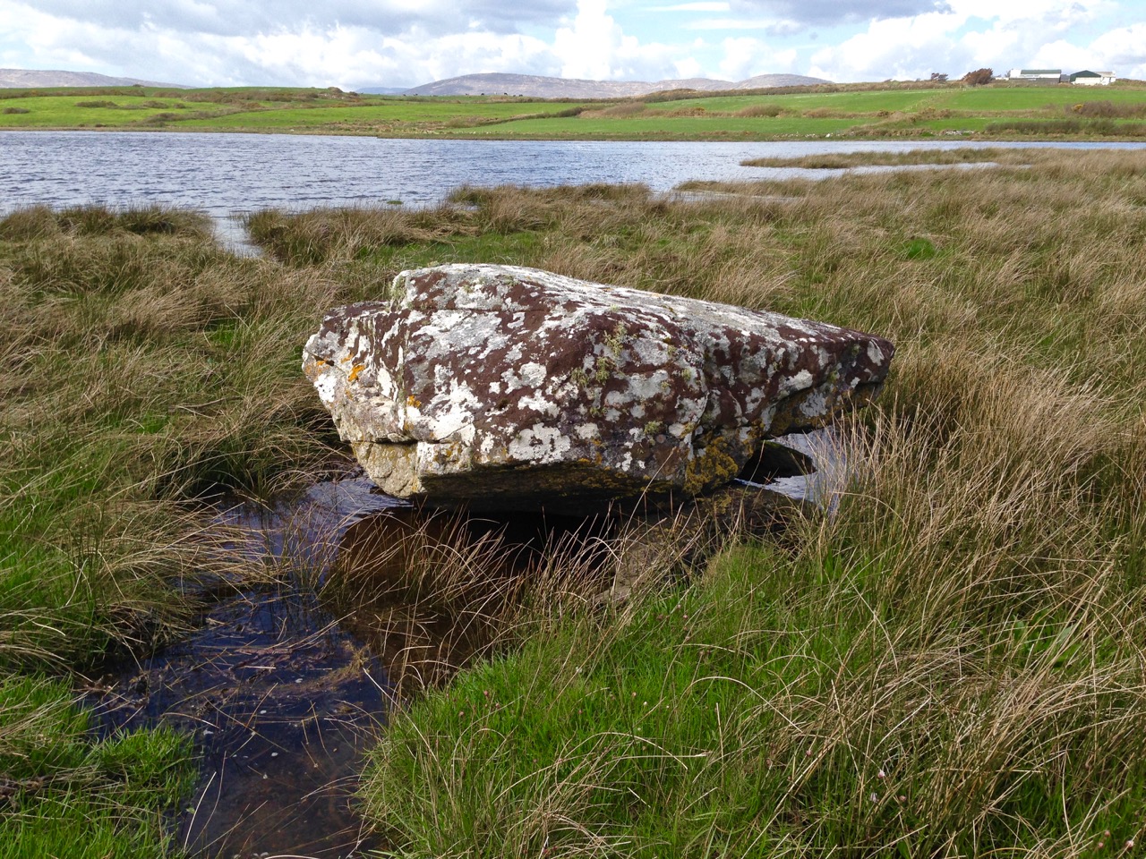
A local ancient tomb; wider significance not recorded.
The monument record does not grant public access. Check the route and ask the landowner before entering private land.
- What survives
- Recorded monument
Places near here
 Childrens Burial GdBurial ground · 178 yd
 Rathruane Bridgebridge · 953 yd
 Man-made underground passage in Rathruane MoreMan-made underground passage · 955 yd
 Coolagh Cottagehouse · 1058 yd
 Danno O’Mahony statueMemorial · 1.1 mi
 Ballydehob's 3-Arch Road BridgeVisitor information · 1.2 mi
 The 12-Arch Railway ViaductVisitor information · 1.2 mi
 KnockaphukeenMountain / peak · 2.0 mi
 Mount CorrinMountain / peak · 2.6 mi
 Barnageehy Loop WalkWalking route · 2.9 mi
 Rossbrin CastleCastle · 3.3 mi
 Kilcoe CastleCastle · 3.5 mi
Other information
Photo: Credit not shown in the picture search · Rights wording not checked; contact us if this picture should be removed