What is recorded here
Situated in a localised hollow on ground sloping to the NE in undulating terrain. Depicted on the OS 6-inch map as a circular platform. A field fence extends NE-SW through the site and there is no visible trace of the site to the NW of this boundary. To the SE there are remains of a raised area (diam. 34m NE-SW; H 0.5m) defined by a fosse (Wth 4.3m; D 0.37) and outer bank (Wth 5.1m; D 0.2m).
The above description is derived from 'The Archaeological Inventory of County Tipperary. Vol. 1 - North Tipperary' compiled by Jean Farrelly and Caimin O'Brien (Dublin: Stationery Office, 2002). In certain instances the entries have been revised and updated in the light of recent research.
Date of upload/revision: 22 September 2008
This remains an important historical record, but the official description says the monument is no longer visible or has been destroyed. The monument record does not grant public access. Check the route and ask the landowner before entering private land.
- What survives
- No visible remains or recorded as destroyed
Places near here
 Grenanstown Househouse · 426 yd
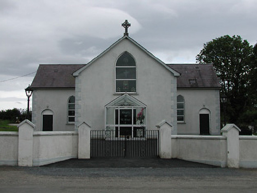 Saint Joseph's Catholic Churchchurch/chapel · 1377 yd
 IndicatedEnclosure · 1717 yd
 Enclosure in LismoreEnclosure · 1.2 mi
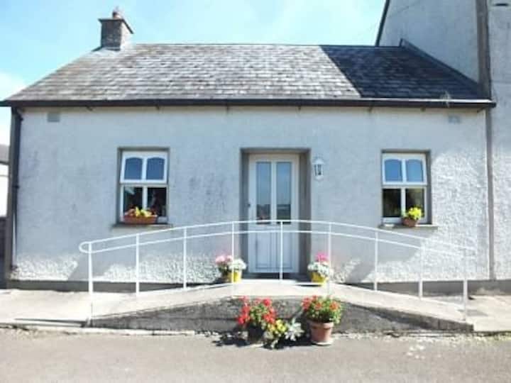 Millbrook Ho.Castle, unclassified · 2.0 mi
 Ballintotty Castle (in ruins)Castle, tower house · 2.1 mi
 Knockacraheen HillMountain / peak · 2.2 mi
 Interragh HillMountain / peak · 2.3 mi
 Killavalla WoodForest · 2.8 mi
 Kyleroe WoodWood · 3.7 mi
 James Devaney MemorialMemorial · 4.6 mi
 Old BarracksHeritage attraction · 4.9 mi