What is recorded here
In undulating pasture, on a slight NW-facing slope. This rath has been levelled and no enclosing element is now visible at ground level. It was described during a previous inspection in 1992 (SMR (1989) file) as the remains of a rath (18m N-S; 16m E-W), with an earthen bank (Wth 3m; int. H 0.4m; ext. H 1.6m), the N portion raised to compensate for the hillslope. The entrance (Wth 3m) with a ramp was in the N arc. A portion of a field boundary indicated to W of the rath on the 1941 OS 6-inch map survives as a gorse-covered earthen bank.
The above description is derived from the published 'Archaeological Inventory of County Sligo' compiled by Ursula Egan, Elizabeth Byrne, Mary Sleeman with Sheila Ronan and Connie Murphy (Dublin Stationery Office, 2005).
Date of upload: 18 January 2008
The monument record does not grant public access. Check the route and ask the landowner before entering private land.
- What survives
- Recorded monument
Places near here
 Man-made underground passage in Ballinvoher (corran By.)Man-made underground passage · 333 yd
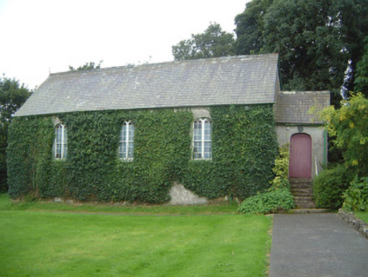 Graniamore Presbyterian Churchchurch/chapel · 490 yd
 Lugacaha fortFairy fort / earthen ringfort · 871 yd
 Quarry in CarnaweeleenQuarry · 1619 yd
 School CaveCave · 1.0 mi
 Kesh CorannMountain / peak · 1.3 mi
 Caves of KeshCave · 1.5 mi
 Bricklieve Castle (in Ruins)Castle, unclassified · 1.8 mi
 Treanscrabbagh caveCave · 2.9 mi
 Ballymote CastleCastle · 3.0 mi
 Brother WalfridMemorial · 3.0 mi
 Bricklieve MountainsMountain / peak · 3.3 mi