
What is recorded here
In pasture, in a prominent position on top of a high ridge. A large raised circular area (diam. 42m) enclosed by a substantial earthen bank (Wth 4.6m; int. H 0.6m; ext. H 1.5m) E-W and by a scarp (H 1.5m) W-E. Some stone facing is evident on the external face of the bank. The entrance (Wth 4m) is at E with a gently sloping access ramp. The interior slopes gently down to NE. An E-W field boundary crosses the S half of the interior. Possible field clearance boulders protrude from sod in the interior.
The above description is derived from the published 'Archaeological Inventory of County Sligo' compiled by Ursula Egan, Elizabeth Byrne, Mary Sleeman with Sheila Ronan and Connie Murphy (Dublin Stationery Office, 2005).
Date of upload: 18 January 2008
Lugacaha fort is a large early-medieval ringfort, likely dating to between the 6th and 10th centuries, characterised by a prominent earthen bank and scarp. Local folklore, common to many such sites, may associate it with fairy legend or ancient septs, though specific traditions are not recorded.
The monument record does not grant public access. Check the route and ask the landowner before entering private land.
- What survives
- Recorded monument
Places near here
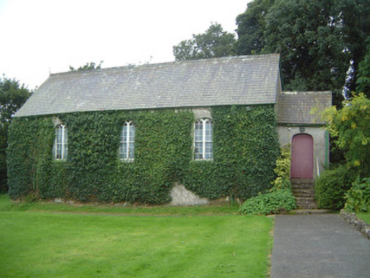 Graniamore Presbyterian Churchchurch/chapel · 579 yd
 Man-made underground passage in Ballinvoher (corran By.)Man-made underground passage · 875 yd
 Parknahough FortFairy fort / earthen ringfort · 1218 yd
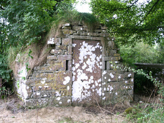 mausoleummausoleum · 1560 yd
 School CaveCave · 1.3 mi
 Kesh CorannMountain / peak · 1.7 mi
 Bricklieve Castle (in Ruins)Castle, unclassified · 1.7 mi
 Caves of KeshCave · 2.0 mi
 Behy Castle (in Ruins)Castle, tower house · 2.5 mi
 Treanscrabbagh caveCave · 3.0 mi
 Brother WalfridMemorial · 3.2 mi
 Riverstown Folk ParkHeritage attraction · 3.4 mi
Other information
Photo: Credit not shown in the picture search · Rights wording not checked; contact us if this picture should be removed