What is recorded here
The cropmark of a D-shaped enclosure (diam. c. 25m) defined by a fosse feature is visible on aerial photographs (CUCAP: AVK 61; BDJ 15). It is bisected by a NE-SW field bank and is not visible NW of this feature. It is not visible at ground level. The rath (WX047-062001-) is c. 55m to the SE.
The above description is derived from the published 'Archaeological Inventory of County Wexford' (Dublin: Stationery Office, 1996). In certain instances the entries have been revised and updated in the light of recent research.
Compiled by: Michael Moore
Date of upload/revision: 15 October, 2013
A D-shaped earthen ringfort, likely dating to the early medieval period, is identified through cropmarks and a fosse feature. Local tradition associates such sites with fairy folklore, often referring to them as "fairy forts," reflecting their mystical and sacred status in Irish tradition.
The monument record does not grant public access. Check the route and ask the landowner before entering private land.
- What survives
- Recorded monument
Places near here
 Enclosure in Grange (forth By., Tomhaggard Ed)Enclosure · 79 yd
 CastleCastle, tower house · 373 yd
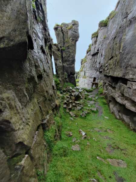 Mass-rock in TomhaggardMass-rock · 897 yd
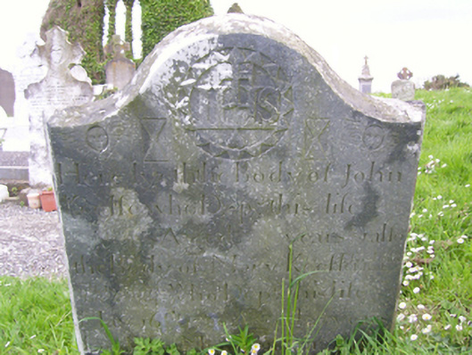 graveyard/cemeterygraveyard/cemetery · 1097 yd
 Church (in Ruins)Church · 1124 yd
 1798 Memorial PlaqueMemorial · 1141 yd
 The Bull RockForest · 1514 yd
 The Heron's MeadowForest · 1747 yd
 The HamBay · 1.0 mi
 The White Hole BeachBeach / strand · 1.5 mi
 Sigginstown Island (Little)Islet · 1.7 mi
 Sigginstown Island (Great)Island · 1.8 mi