What is recorded here
Located at the top of a slight S-facing slope. The cropmark of a circular enclosure (diam. c. 50m) defined by a single fosse feature is visible on aerial photographs (CUCAP: AVK 61; BDJ 15) with a smaller enclosure (diam. c. 30m) defined by a fosse attached to the perimeter at W. Three or four pits are visible in the interior of the larger enclosure which was probably a rath. The larger enclosure is visible on the ground as a slightly dished grass-covered area defined by a low bank (Wth 7 10m; H up to 0.6m), but the attached enclosure is not visible at ground level. Enclosure (WX047-062002-) is c. 55m to the NW,
The above description is derived from the published 'Archaeological Inventory of County Wexford' (Dublin: Stationery Office, 1996). In certain instances the entries have been revised and updated in the light of recent research.
Compiled by: Michael Moore
Date of upload/revision: 15 October, 2013
The monument record does not grant public access. Check the route and ask the landowner before entering private land.
- What survives
- Recorded monument
Places near here
 Enclosure in Grange (forth By., Tomhaggard Ed)Enclosure · 37 yd
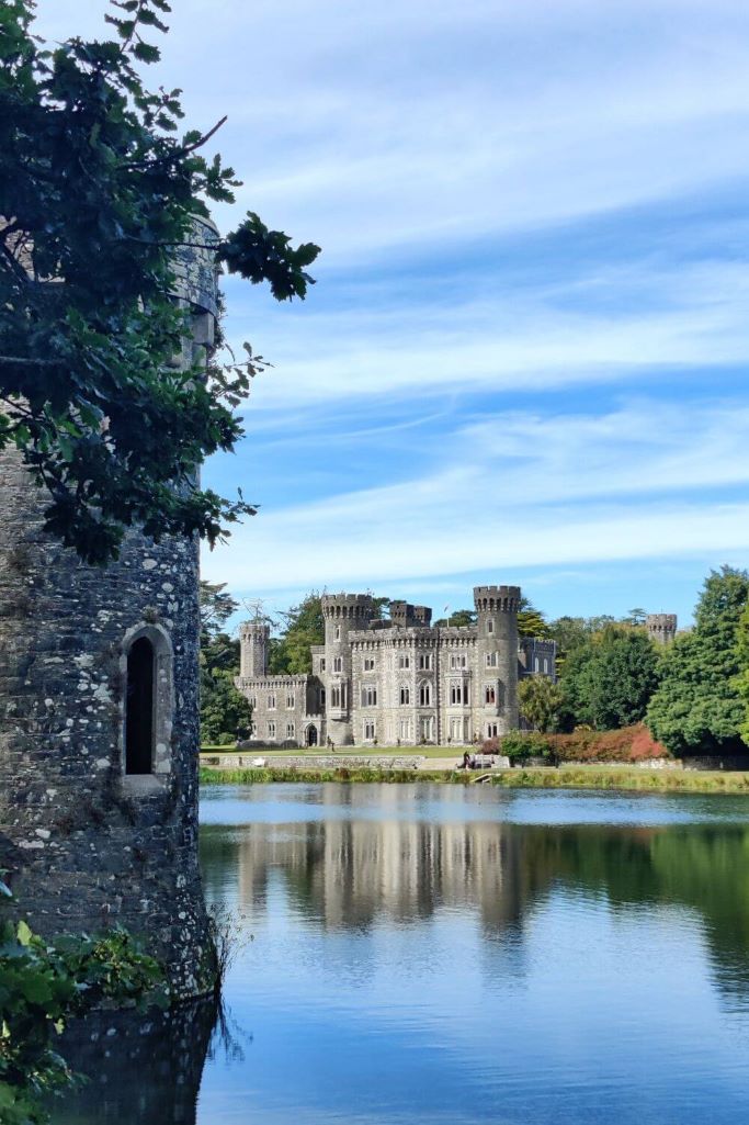 CastleCastle, tower house · 460 yd
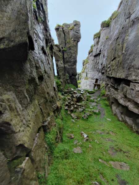 Mass-rock in TomhaggardMass-rock · 966 yd
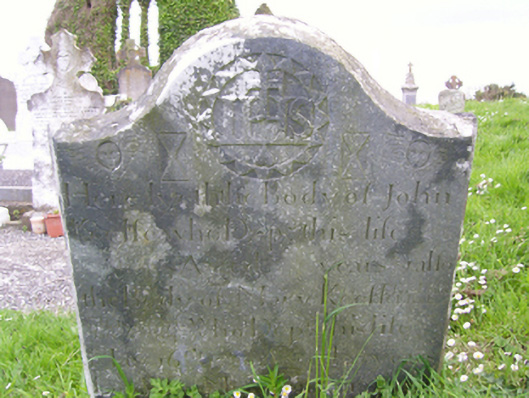 graveyard/cemeterygraveyard/cemetery · 1180 yd
 Church (in Ruins)Church · 1207 yd
 1798 Memorial PlaqueMemorial · 1223 yd
 The Bull RockForest · 1599 yd
 The HamBay · 1751 yd
 The Heron's MeadowForest · 1.0 mi
 The White Hole BeachBeach / strand · 1.4 mi
 Sigginstown Island (Little)Islet · 1.7 mi
 Sigginstown Island (Great)Island · 1.7 mi