What is recorded here
Fairy fort in Gortshanavogh, County Kerry: a 22 m earthen ring on a south-facing slope, with a causewayed entrance at the southwest and a shallow outer ditch. Its concave interior slopes downward and was used as a children’s burial ground, giving the ordinary pasture a sudden edge of loss. A man-made underground passage lies nearby to the north, as if the hill were not finished with keeping secrets.
In pasture, on a S-facing slope immediately below the summit of a hillock. A circular area (22m N-S; 22m E-W) defined by an earthen bank (Wth 7m; int. H 0.1m; ext. H 1.4m) with an external fosse (Wth 3m; D 0.2m) which is traceable around most of the circumference. There is a possible causeway entrance (Wth c. 3.9m) at SW. The interior, which is concave and slopes down to the S, was used as a children's burial ground (KE048-065002-). This may be the rath from which an ogham stone (KE048-065003-) was removed (OSNB Killeentierna, no. 1, 11). There is a Man-made underground passage (KE048-065001-) in the field immediately to the N.
Compiled by: Elizabeth Byrne, Ursula Egan and Sheila Ronan, Archaeological Survey Unit, University College, Cork.
Date of upload: 31 January 2011
The monument record does not grant public access. Check the route and ask the landowner before entering private land.
- What survives
- Recorded monument
Places near here
 Monearmore FortFairy fort / earthen ringfort · 981 yd
 LissabamarkyFairy fort / earthen ringfort · 1122 yd
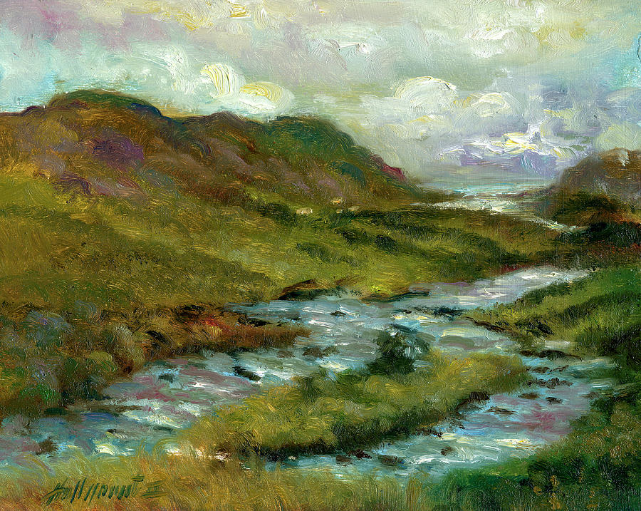 Gortshanavogh Br.Bridge · 1546 yd
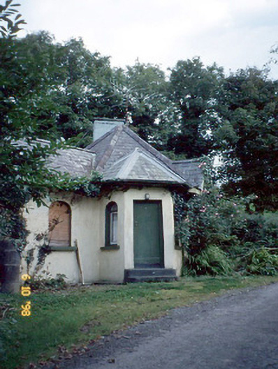 Dicksgrovegate lodge · 1.1 mi
 CastleCastle, motte · 2.0 mi
 Site of Currans CastleCastle, unclassified · 2.9 mi
 Aghadoe Early Medieval Ecclesiastical SiteHeritage attraction · 6.1 mi
 Famine MemorialMemorial · 6.6 mi
 GinkgoGinkgo · 6.8 mi
 Kerry 2nd Brigade of the Irish Republican ArmyMemorial · 6.9 mi
 Circular WalkWalking route · 7.0 mi
 Giant SequoiaGiant Sequoia · 7.0 mi