What is recorded here
No visible monument remains at Gortgarralt. The land office and local accounts point to an ordinary field, not a standing stone or marked hall. That absence is the shape of the story. Any claim about a lost name, hidden chamber or forgotten event must stay open, because no witness, record or visible trace has answered the call.
Enclosure described in 1942-3 as following; 'This consists of an oval platform on the edge of which there is a bank. Outside there is a fosse. The entrance is on the north side and outside it the fosse is causewayed. Tt is possible that the bank had a stone facing on the outside. One end of the oval is flattened. It measures 106' [32m] long by 100' [30m] wide. The bank is densely overgrown. Situated in good lowland' (O'Kelly 1942-3, 230). Outline of enclosure is visible today on Digital Globe aerial photographs.
Compiled by: Caimin O'Brien
Date of upload: 2 March 2020
The monument record does not grant public access. Check the route and ask the landowner before entering private land.
- What survives
- Recorded monument
Places near here
 Enclosure in FedamoreEnclosure · 818 yd
 Fedamore Housecountry house · 838 yd
 Enclosure in KilcaskinEnclosure · 901 yd
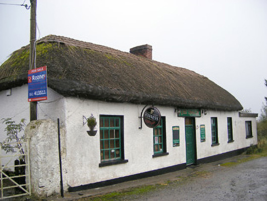 The Thatchhouse · 1349 yd
 Carnane RockNamed rock · 1572 yd
 Dotted outlineBawn · 1.1 mi
 (Site of) Garryellen CastleCastle, unclassified · 1.1 mi
 Skool HillMountain / peak · 1.6 mi
 Villiers WellSpring · 1.8 mi
 ToberauillinSpring · 1.8 mi
 Lough GurVisitor information · 3.7 mi
 Grange Stone CircleArchaeological place · 3.7 mi