What is recorded here
Magic and myth are not the same. The chamber is a visible chamber, built to be seen and judged. The claimant must identify the owner, the time and the purpose before deciding whether the chamber is a toy or a trap.
In pasture, on SE-facing slope. Raised circular area (33m N-S; 32m E-W) defined by low earthen bank (int. H 0.7m) SE->SSW, with external fosse and outer bank (H 1.5m). Fosse dry and heavily overgrown. Outer bank stone-faced externally. Interior slopes down to SE towards gap (Wth c. 6.8m) in inner bank; no corresponding break in outer bank. According to local information, inner bank originally survived all round but was worn down due to ploughing of interior. Possible Man-made underground passage (9040) in interior.
The above description is derived from the published 'Archaeological Inventory of County Cork. Volume 3: Mid Cork' (Dublin: Stationery Office, 1997). In certain instances the entries have been revised and updated in the light of recent research.
Date of upload/revision: 14 January 2009
The monument record does not grant public access. Check the route and ask the landowner before entering private land.
- What survives
- Recorded monument
Places near here
 Mass-rock in GortdonaghmoreMass-rock · 409 yd
 Loughane Cottagehouse · 626 yd
 Burial ground in GortdonaghmoreBurial ground · 972 yd
 St Joseph's Roman Catholic Churchchurch/chapel · 1.1 mi
 Castle (in Ruins)Castle, tower house · 1.3 mi
 Ballyanly Inniscarra Slí na SláinteWalking route · 1.9 mi
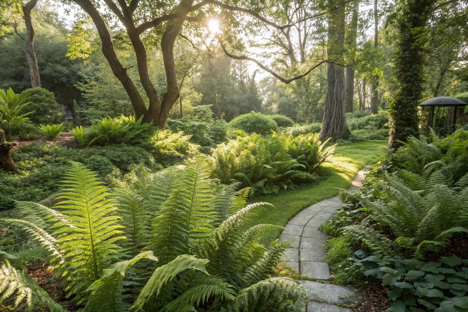 Fern GardenHeritage attraction · 2.7 mi
 BatsVisitor information · 2.9 mi
 Western RedcedarWestern Redcedar · 2.9 mi
 Garrycloyne Castle (in Ruins)Castle, tower house · 2.9 mi
 Turner's Rock WoodWood · 2.9 mi
 Waterloo Loop WalkWalking route · 3.0 mi