
What is recorded here
In pasture, on NE-facing slope, on W side of Shournagh River valley. Area of overgrowth (54m NW-SE; 40m NE-SW) within which are c. 15 mounds of stones (L c. 2.2m; Wth c. 1.5m; H c. 0.5m). Long axis of each mound is approximately E-W. Possible famine burials.
The above description is derived from the published 'Archaeological Inventory of County Cork. Volume 3: Mid Cork' (Dublin: Stationery Office, 1997). In certain instances the entries have been revised and updated in the light of recent research.
Date of upload/revision: 14 January 2009
The monument record does not grant public access. Check the route and ask the landowner before entering private land.
- What survives
- Recorded monument
Places near here
 Loughane Cottagehouse · 440 yd
 Mass-rock in GortdonaghmoreMass-rock · 755 yd
 Fulacht fia in Loughane EastFulacht fia · 1062 yd
 St Joseph's Roman Catholic Churchchurch/chapel · 1558 yd
 Castle (in Ruins)Castle, tower house · 1.6 mi
 Castle (Site of)Castle, unclassified · 2.1 mi
 Ballyanly Inniscarra Slí na SláinteWalking route · 2.3 mi
 Pakie HoganMemorial · 2.7 mi
 BatsVisitor information · 2.8 mi
 Lion RockNamed rock · 2.9 mi
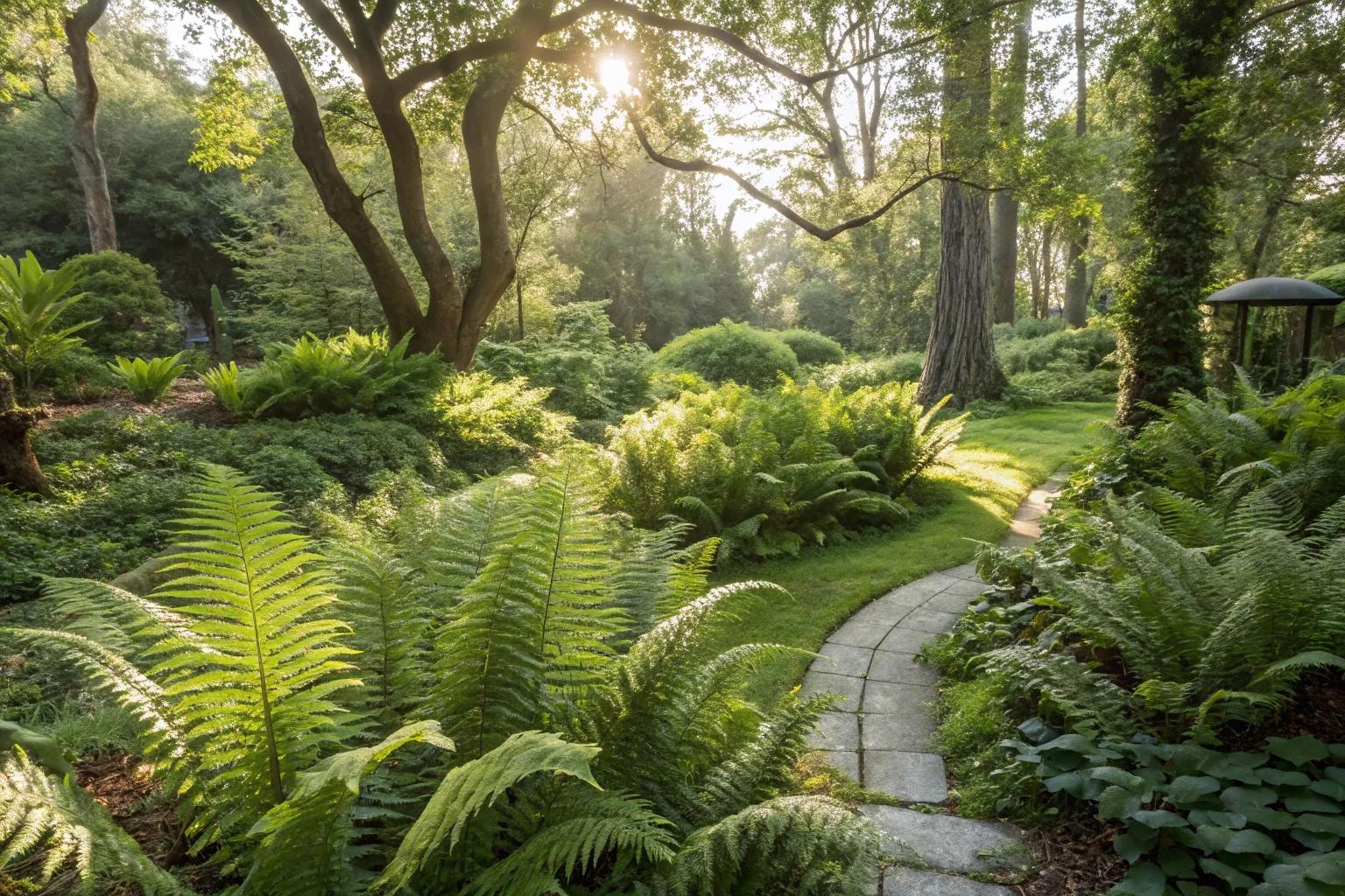 Fern GardenHeritage attraction · 2.9 mi
 Waterloo Loop WalkWalking route · 3.0 mi
Other information
Photo: Credit not shown in the picture search · Rights wording not checked; contact us if this picture should be removed