What is recorded here
Erosion and patience are the true sculptors of Glenduff. The fort is not dead, only redistributed. Cattle walk through its broken ring, scattering soil across the pasture while the hill holds its shape beneath them. What looks like loss is continuation. The hand that built it and the herd that wears it are both still working.
In pasture, on N-facing slope. Roughly circular area (35m E-W; 34m N-S) enclosed by earthen bank (int. H 0.2m; ext. H 0.9m); external fosse survives as slight depression. Bank heavily eroded by cattle. Break in bank to N and W. Interior cut into slope on S side and raised on N side to compensate for hillslope.
The above description is derived from the published 'Archaeological Inventory of County Cork. Volume 4: North Cork' (Dublin: Stationery Office, 2000). In certain instances the entries have been revised and updated in the light of recent research.
Date of upload/revision: 14 January 2009
The monument record does not grant public access. Check the route and ask the landowner before entering private land.
- What survives
- Recorded monument
Places near here
 Glenduff Bridgebridge · 872 yd
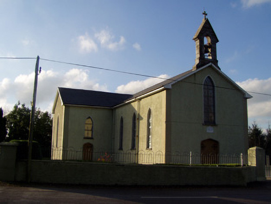 Catholic Church of the Holy Familychurch/chapel · 1073 yd
 Curraleigh MountainMountain / peak · 1.2 mi
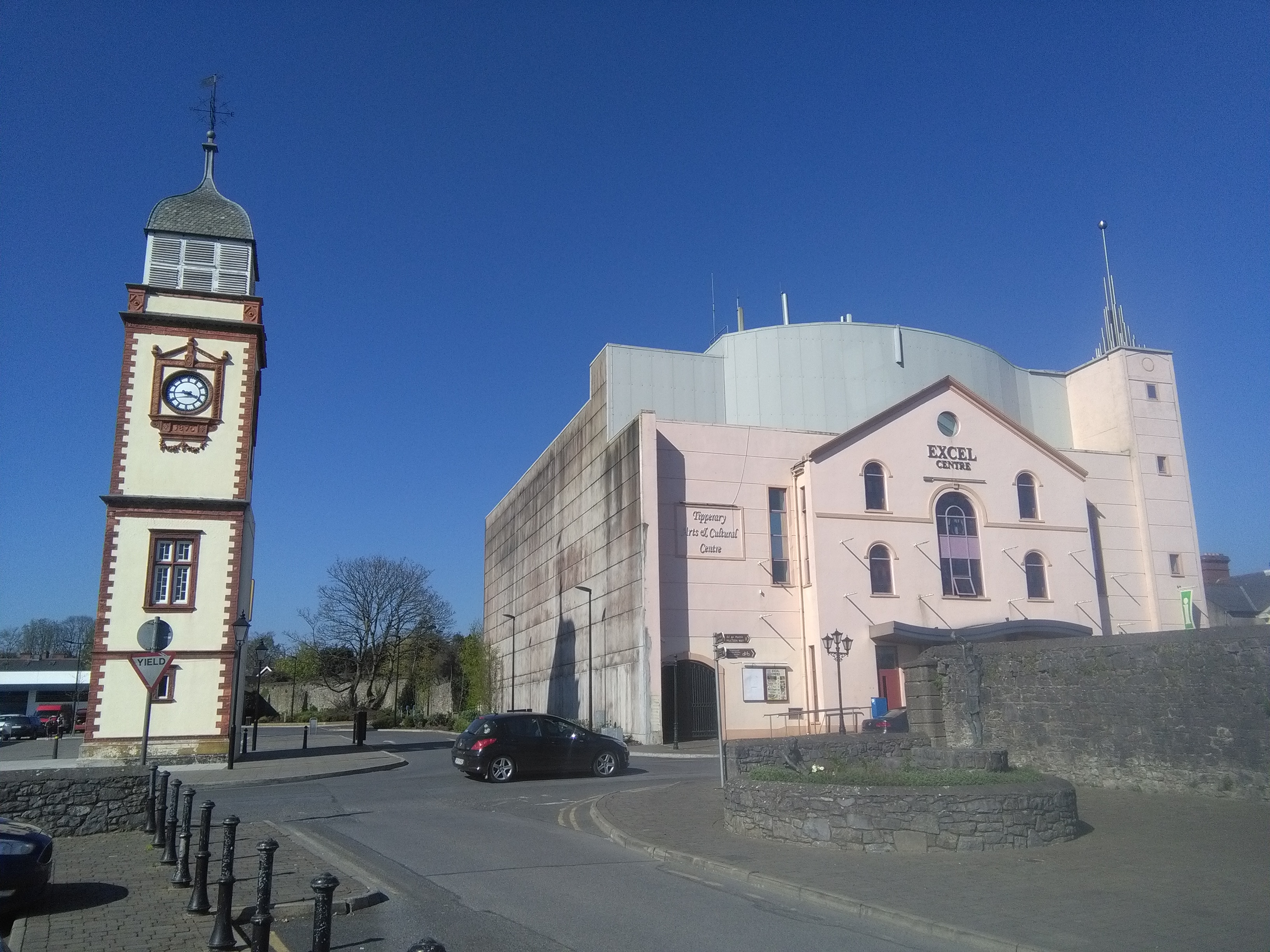 IndicatedHoly well · 1.3 mi
 BarrowBarrow, ring-barrow · 1.3 mi
 Skeheen MountainMountain / peak · 1.5 mi
 CastleCastle, ringwork · 1.8 mi
 Ballard WaterfallWaterfall · 2.0 mi
 Site of CastleCastle, unclassified · 3.3 mi
 Ronald Reagan CentreHeritage attraction · 3.4 mi
 Statue of Saint FanahanMemorial · 4.1 mi
 Mitchelstown Town MapVisitor information · 4.1 mi