What is recorded here
Fairy fort in Gleann Daimh, County Cork: a roughly circular earthen ringfort, 25 metres north-south and 22 metres east-west, with a collapsed stone-faced bank, external fosse, and a three-metre entrance to the southeast. It sits atop a hillock in pasture, sheltered by rock outcrop to the north, and has appeared as a small field on maps since 1842. Inside, cultivation ridges still cross the ground and a corn-drying kiln lies thirty metres north, suggesting people lived, worked, and dried their harvest there long before the fairy name arrived.
In pasture, atop hillock, on level patch of ground sheltered by rock outcrop to N. Depicted as small subrectangular field on 1842, 1903 and 1940 OS 6-inch maps. Roughly circular area (25m N-S; 22m E-W) enclosed by stone-faced earthen bank (int. H 1.7m; T 3m) with external fosse (D 0.9m). Outer stone facing largely collapsed. Entrance (Wth 3m) to SE. Interior slopes gently down to S and rises in centre; crossed by remains of cultivation ridges running N-S. Remains of corn-drying kiln (9311) c. 30m to N.
The above description is derived from the published 'Archaeological Inventory of County Cork. Volume 3: Mid Cork' (Dublin: Stationery Office, 1997). In certain instances the entries have been revised and updated in the light of recent research.
Date of upload/revision: 14 January 2009
The monument record does not grant public access. Check the route and ask the landowner before entering private land.
- What survives
- Recorded monument
Places near here
 KilnKiln, corn-drying · 34 yd
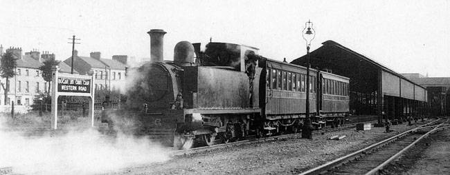 IndicatedHut site · 682 yd
 Man-made underground passage in Gleann DaimhMan-made underground passage · 890 yd
 Cnoc na nUlán (mullach thoir)Mountain / peak · 1499 yd
 Mullaghanish Far North-East TopMountain / peak · 1.7 mi
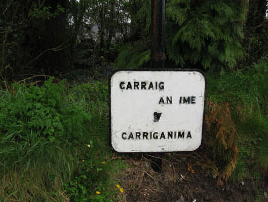 sign postsign post · 2.0 mi
 Castle (Site of)Castle, unclassified · 3.7 mi
 Kealaboane WoodWood · 3.8 mi
 Cascade WoodWood · 3.8 mi
 Kilmeedy CastleCastle, tower house · 4.6 mi
 Standing Stone ? At J WellMemorial · 5.1 mi
 Paddy Mulcahey 2009Memorial · 5.1 mi