What is recorded here
No, that is an earthen ringfort in Glashare, County Kilkenny, not a fairy fort. It stands between valley sides and floor in rolling pasture, a raised circular area about thirty metres across with a slight bank and external fosse, though trees and scrub now choke much of it. The view reaches in every direction, even northeast where the land rises slightly. Whoever shaped that circle saw as far as you can from its rim.
Between the gently sloping valley sides and the valley floor, in rolling pasture. There are good views in all directions, even to the NE where the land rises slightly. Though heavily overgrown with trees and scrub, this appears to be a raised circular area (int. diam. c. 30m; H 2-3m) enclosed by slight bank at top and an external fosse at base of slope.
Compiled by: Jean Farrelly
Date of upload: 24 October 2017
The monument record does not grant public access. Check the route and ask the landowner before entering private land.
- What survives
- Recorded monument
Places near here
 Street fieldArchaeological place · 808 yd
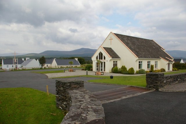 Church in GlashareChurch · 947 yd
 Glashare CastleCastle, tower house · 1005 yd
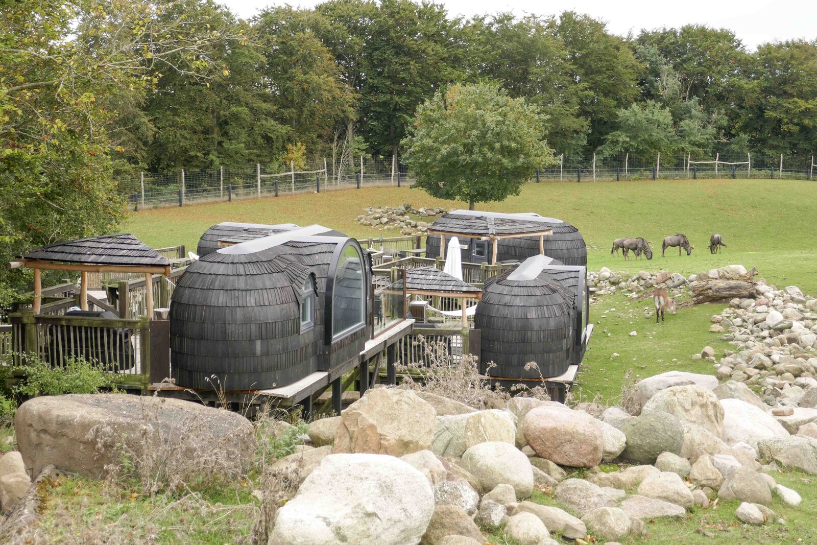 Enclosure in GlashareEnclosure · 1031 yd
 Mill (in ruins)Water mill, unclassified · 1071 yd
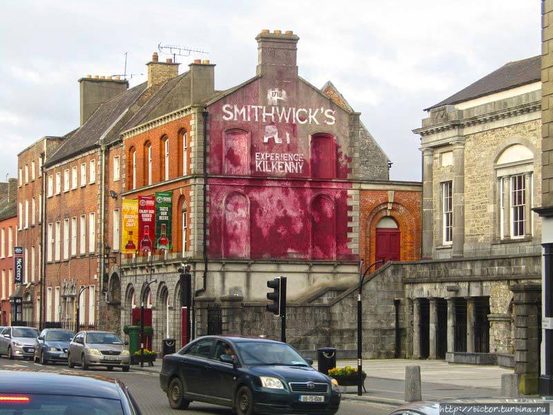 Glashare Ringfort (rath)Archaeological place · 1121 yd
 CastleCastle, unclassified · 1432 yd
 DelaneyMemorial · 2.8 mi
 Clomantagh HillMountain / peak · 2.8 mi
 John HelyMemorial · 2.8 mi
 The CopseWood · 5.7 mi
 Anker's IslandIsland · 6.9 mi