What is recorded here
In rolling grassland on the floor of the Goul river valley, a little above the flood plain. Land drops away slightly to the S and W towards the River Goul. A circular area (diam. c. 29m) enclosed by a stoney bank (Wth at crest c. 1m; overall Wth 3m; int. H c. 0.9m; ext. H c. 0.9m) of irregular stones. A field boundary running NW-SE truncates the SW quadrant and the bank in the SW quadrant has been levelled. A quarry trench (Wth 3m) runs N-S across the centre of the monument and other has damaged the E quadrant. The underlying bedrock is close to the surface of the interior. Also within the interior there is spoil from the quarrying activity as well as dumped material.
Compiled by: Jean Farrelly
Date of upload: 2 February 2016
The monument record does not grant public access. Check the route and ask the landowner before entering private land.
- What survives
- Recorded monument
Places near here
 Enclosure in GlashareEnclosure · 886 yd
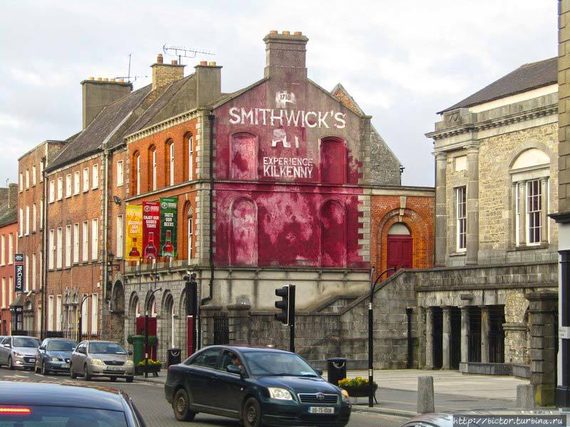 Glashare Ringfort (rath)Archaeological place · 993 yd
 Glashare CastleCastle, tower house · 1090 yd
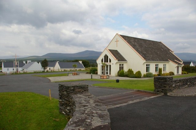 Church in GlashareChurch · 1153 yd
 Street fieldArchaeological place · 1305 yd
 Abbey (in ruins)Religious house, unclassified · 1.3 mi
 Grangefertagh Castle (site)Archaeological place · 1.6 mi
 Cnoc SeanrathaMemorial · 2.8 mi
 DelaneyMemorial · 3.5 mi
 Clomantagh HillMountain / peak · 3.9 mi
 Big WoodWood · 4.2 mi
 Anker's IslandIsland · 7.1 mi