What is recorded here
Thirty years of rain and reeds have swallowed the fairy fort in Glannaheera, leaving only a faint circular shadow in the bogland beside the Emlagh river. What remains is a thin earthen ribbon, barely higher than ankle depth, broken along one side and hidden beneath heather. The fairies did not leave a castle; they left a suggestion, a circle drawn in soil that the land is slowly erasing. To walk its edge is to touch the disappearing part of the world, the shape that once held life before returning it to water and grass.
Internal diam. 24.5m
This circular univallate rath is located in open bogland about 50m S of a tributary of the Emlagh river. The bank survives to a maximum height of only .4m internally and .85m externally and is 1.5m wide. It is overgrown with long grass, heather and reeds and has disappeared almost completely along the SW quadrant. There are a number of possible entrance gaps, but the best defined faces NW and is 2.5m wide.
The above description is derived from J. Cuppage, ‘Corca Dhuibhne. Dingle Peninsula archaeological survey. Ballyferriter. Oidhreacht Chorca Dhuibhne’ (1986), no. 440. In certain instances the entries have been revised and updated in the light of recent research.
Date of upload: 7 August 2013
The monument record does not grant public access. Check the route and ask the landowner before entering private land.
- What survives
- Recorded monument
Places near here
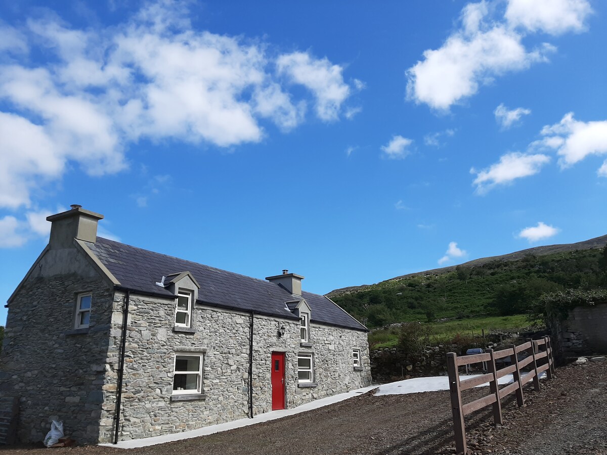 Hut site in Ballynahunt,kilduff (corkaguiny By.)Hut site · 369 yd
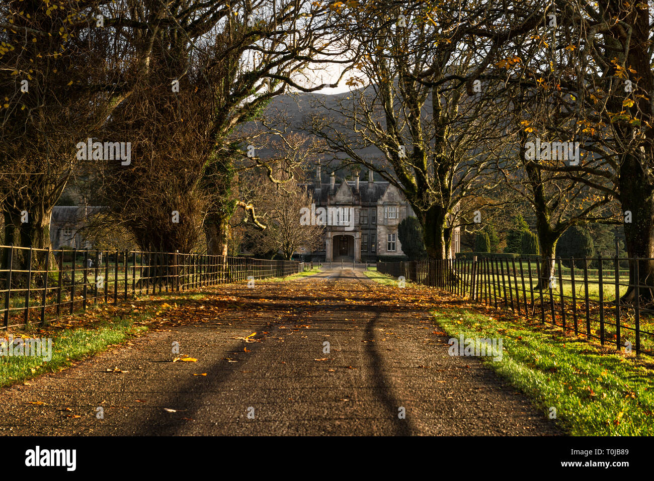 Man-made underground passage in An LuachairMan-made underground passage · 1045 yd
 BrickanyMountain / peak · 1.3 mi
 EmlaghMountain / peak · 1.4 mi
 Church in Inch East (corkaguiny By.)Church · 1.7 mi
 Inch BeachVisitor information · 1.9 mi
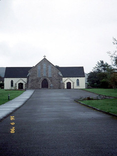 Catholic Church of the Sacred Heartchurch/chapel · 3.2 mi
 Glanteenassig Forest ParkForest · 3.4 mi
 Statue of Our LadyHeritage attraction · 3.5 mi
 Jerome ConnorMemorial · 3.5 mi
 Bunaneer StrandBeach / strand · 3.7 mi
 Graveyard in BallynacourtyGraveyard · 4.1 mi