What is recorded here
On the flat crest ofa ridge with the ground sloping beyond this to the SE, in tillage. There are a number of ringforts in the vicinity, the closest (TS081-013----) is c. 180m to SE but is not visible due to hedgerow. The ringfort is heavily overgrown with scrub and brambles, the interior was not accessible. The monument, which appears roughly oval on the 1st (1843) and 2nd (1906) ed. OS 6-inch map (diam. c. 37m N-S; c. 48m E-W), is enclosed by a substantial earthen bank (Wth 1.3m crest, c. 3m base; int. H 0.7m; ext. H 1.4m). There is no clear evidence of an external fosse and the entrance could not be located due to heavy vegetal cover.
Compiled by: Jean Farrelly
Date of upload: 07 January 2014
The monument record does not grant public access. Check the route and ask the landowner before entering private land.
- What survives
- Recorded monument
Places near here
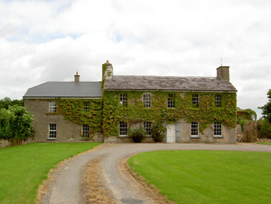 Garryroan Househouse · 437 yd
 Water millWater mill, unclassified · 612 yd
 Ecclesiastical enclosure in WhitechurchEcclesiastical enclosure · 801 yd
 Garrycloher WoodForest · 866 yd
 IndicatedEnclosure · 1446 yd
 Knockane Castle ruinsCastle · 2.1 mi
 Bawn in CloheenafishogeBawn · 2.2 mi
 Pedunculate OakPedunculate Oak · 2.2 mi
 Cahir CastleHeritage attraction · 2.9 miSiege of Cahir Castlesiege · 2.9 mi
 Caher AbbeyHeritage attraction · 3.1 mi
 SlieveanardMountain / peak · 3.1 mi