
What is recorded here
On a gentle SE-facing slope in gently undulating terrain, in pastureland. The enclosure is marked as a rectangular wooded area on the 1st (1840) ed. OS 6-inch map. There is no evidence that it was an antiquity apart from a deliberate kink in the townland boundary. The area has been cleared of trees and reclaimed, there are a lot of undulations in the field but none form a definable rectangular enclosure. The small area partially outlined on the 2nd (1906), incorporating a kink in the townland boundary, has also been removed.
Compiled by: Jean Farrelly
Date of upload: 07 January 2014
A local fairy fort (ringfort/rath); wider significance not recorded.
The monument record does not grant public access. Check the route and ask the landowner before entering private land.
- What survives
- Recorded monument
Places near here
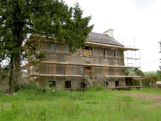 Millgrove Househouse · 605 yd
 Church (in ruins)Church · 641 yd
 Ecclesiastical enclosure in WhitechurchEcclesiastical enclosure · 672 yd
 Garrycloher WoodForest · 1550 yd
 Bawn in CloheenafishogeBawn · 1.5 mi
 Enclosure in ScartanaEnclosure · 1.5 mi
 Knockane Castle ruinsCastle · 1.6 mi
 Boulakennedy WoodForest · 2.8 mi
 SlieveanardMountain / peak · 2.8 mi
 Slieveanard NE TopMountain / peak · 3.1 mi
 Cahir CastleHeritage attraction · 3.5 miSiege of Cahir Castlesiege · 3.5 mi
Other information
Photo: Credit not shown in the picture search · Rights wording not checked; contact us if this picture should be removed