What is recorded here
Garrynagranoge holds a levelled earthen ringfort where a shallow fosse still circles a raised pasture slope. People built or claimed the circle before human memory, while fairy stories waited in the margins to explain what the hands had already shaped.
In pasture, on gentle E-facing slope. Depicted as hachured, roughly circular enclosure (diam. c. 45m) on 1842 OS 6-inch map; as hachured raised area (diam. c. 45m) surrounded by fosse on 1905 and 1936 OS 6-inch maps; scarp topped by field boundary SE->NNW on 1905 OS 6-inch map. Levelled; circular raised area (39.5m N-S; 35.6m E-W) enclosed by low rise with shallow external fosse (max. D 0.41m). Differential growth across site clearly defines bank and fosse area.
The above description is derived from the published 'Archaeological Inventory of County Cork. Volume 4: North Cork' (Dublin: Stationery Office, 2000). In certain instances the entries have been revised and updated in the light of recent research.
Date of upload/revision: 14 January 2009
The monument record does not grant public access. Check the route and ask the landowner before entering private land.
- What survives
- Recorded monument
Places near here
 Enclosure in Ardmore (orrery and Kilmore By.)Enclosure · 605 yd
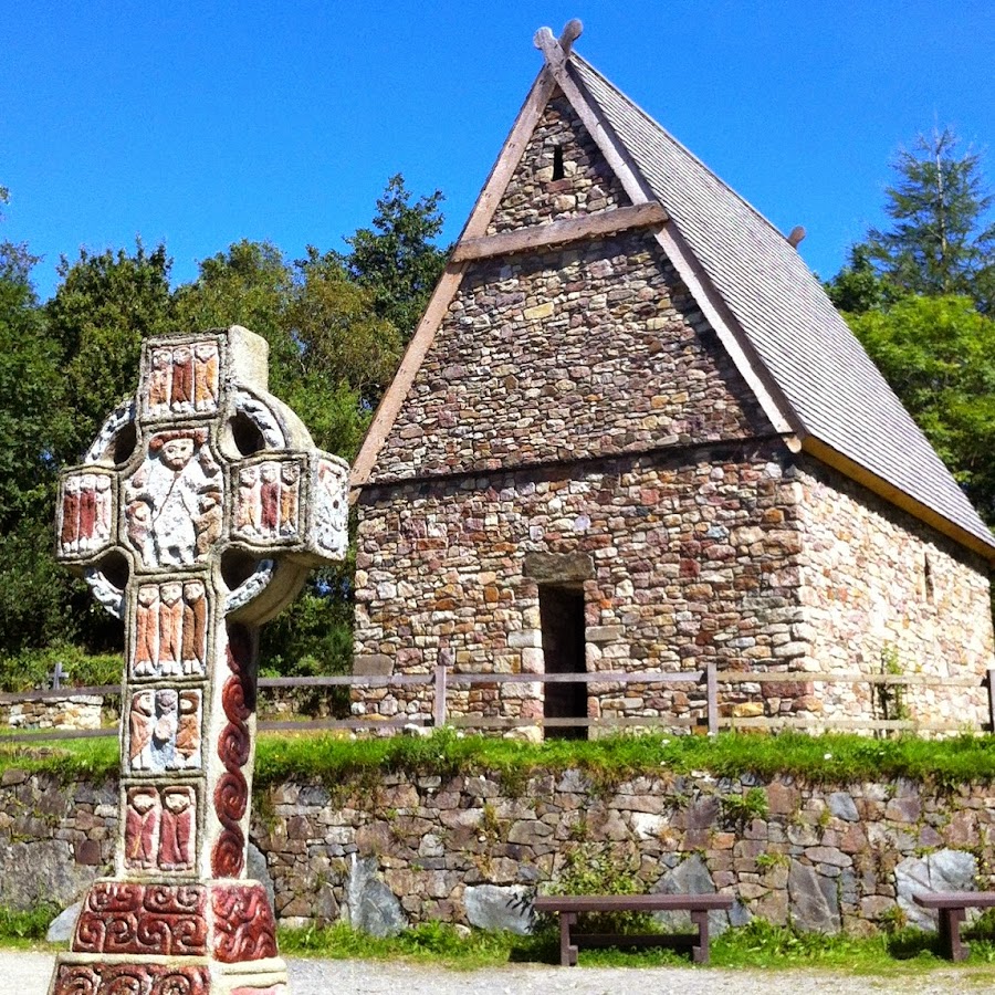 Fulacht FiadhFulacht fia · 1195 yd
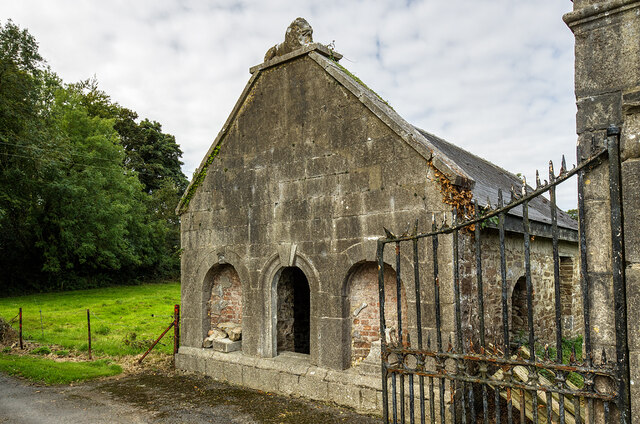 Milltown Castledemesne walls/gates/railings · 1438 yd
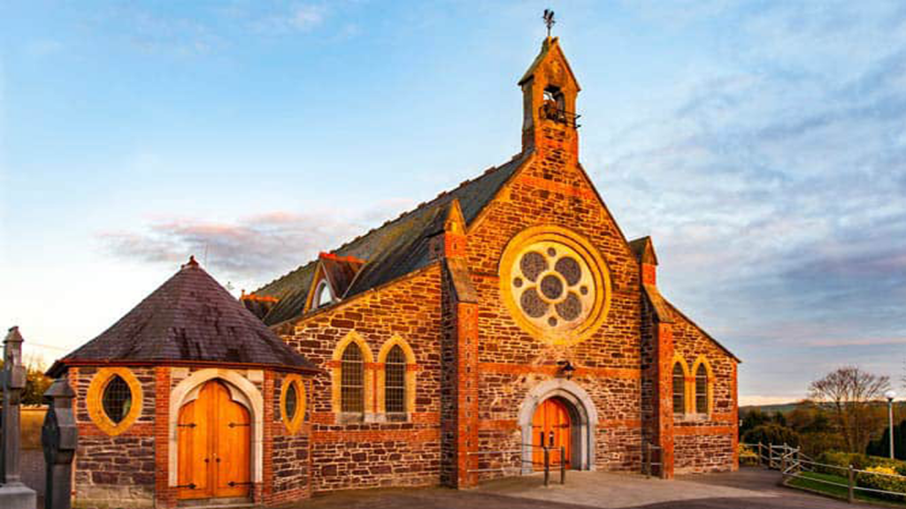 Cooliney Church (in Ruins)Church · 1.1 mi
 CastleCastle, motte · 1.5 mi
 Holy Cross CemeteryGraveyard · 1.8 mi
 TumulusCastle, motte · 1.8 mi
 Windmill HillMountain / peak · 4.0 mi
 Ballyhoura WayWalking route · 4.1 mi
 ToberSpring · 4.3 mi
 BallinaboolaVisitor information · 4.4 mi
 Lady's WellSpring · 4.4 mi