What is recorded here
Fairy forts are human homes rebuilt into myth. In Garraun South a forty-metre ring stood on an ESE-facing slope, mapped in 1842 with banks breaking into pasture. It has since disappeared under level ground, leaving behind the suspicion that even forgotten places resist complete erasure.
In pasture, on ESE-facing slope. Depicted as circular enclosure (diam. c. 40m) on 1842 OS 6-inch map; bank hachured to NE and SW, indicated by broken lines to SE and NW. Levelled; no visible surface trace.
The above description is derived from the published 'Archaeological Inventory of County Cork. Volume 3: Mid Cork' (Dublin: Stationery Office, 1997). In certain instances the entries have been revised and updated in the light of recent research.
Date of upload/revision: 14 January 2009
The monument record does not grant public access. Check the route and ask the landowner before entering private land.
- What survives
- Recorded monument
Places near here
 IndicatedFairy fort / earthen ringfort · 720 yd
 Fulachta FiadhFulacht fia · 734 yd
 Castle View Housefarm house · 896 yd
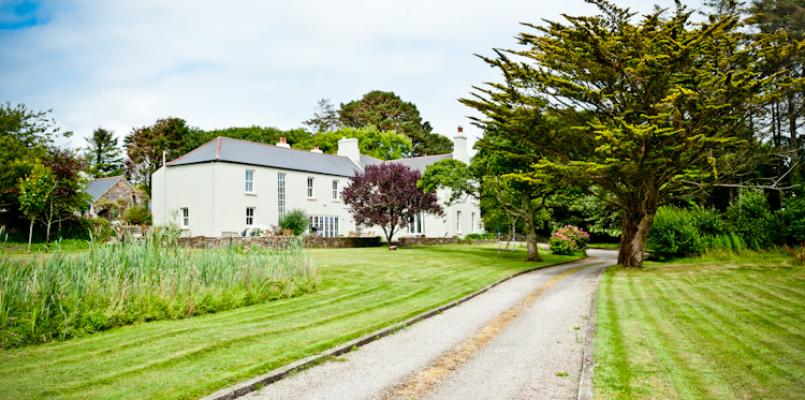 Knockane HouseCountry house · 948 yd
 Ballyvodane Castle (in Ruins)Castle, unclassified · 1164 yd
 Pairc Ath Na hEornaMemorial · 3.3 mi
 New TipperaryVisitor information · 3.3 mi
 Garrycloyne Castle (in Ruins)Castle, tower house · 3.4 mi
 Lyradane MountainMountain / peak · 3.5 mi
 Ballyanly Inniscarra Slí na SláinteWalking route · 3.6 mi
 Pakie HoganMemorial · 3.7 mi
 Rock HillMountain / peak · 4.2 mi