What is recorded here
In rough pasture, on a gentle E-facing slope. Sub-circular area (18m N-S; 22m E-W) defined by scarped edge WNW-SSW (Wth 1.75m; H 0.5m) and by low earthen bank (Wth 5.45m; int. H 0.3m; ext. H 0.5m) SSW-WNW; Gap (Wth 6m) in scarp at E. Trace of external fosse (Wth 5.65m; D 0.2m) S-NE. Cattle erosion of scarp evident at S. Series of four lazy beds (Wth 1.6m; H 0.2m) cut interior (long-axis NNW-SSE). Hut site (LI023-305----) in centre of interior.
Compiled by: Denis Power
Date of upload: 20 November 2013
The monument record does not grant public access. Check the route and ask the landowner before entering private land.
- What survives
- Recorded monument
Places near here
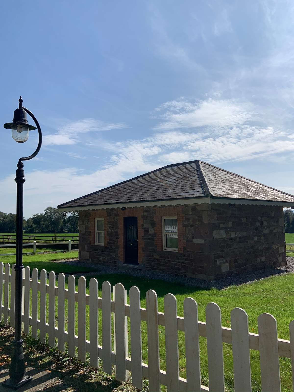 Hut site in GalboolaHut site · 6 yd
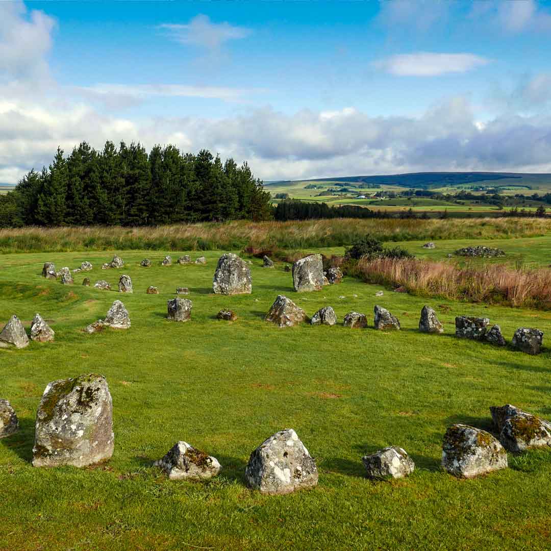 BarrowBarrow, ring-barrow · 1064 yd
 Church (in ruins)Church · 1.2 mi
 Castle (in ruins)Castle, unclassified · 1.4 mi
 garda station/constabulary barracksgarda station/constabulary barracks · 1.5 mi
 Black Castle (Site of)Castle, unclassified · 2.0 mi
 St. Patrick's WellSpring · 2.1 mi
 Kilteely HillMountain / peak · 2.3 mi
 KnockseefinMountain / peak · 3.6 mi
 Flat cemetery in Knockainy WestFlat cemetery · 4.8 mi
 ToberagaddySpring · 5.1 mi
 Ballinvreena LoopVisitor information · 10 mi