What is recorded here
Half-hidden under grass and forgotten by most walkers, the Fringestown fort still holds its shape on a low knoll. Its broken ring may have marked a home, a boundary, or a place where people believed the fairy world touched through. The gap in the earth does not weaken it; it invites imagination. What is missing has not stopped the fort existing.
Situated on a low knoll. A magnetic gradiometer survey (19R0177) conducted by J. Nicholls on behalf of Meath County Council identified an oval area (int. dims c. 32m plus WNW-ESE; c. 27m NNE-SSW) defined by a gapped fosse-like feature that is truncated by a N-S field bank at W and has discontinuities at NE, E and SE (Nicholls 2019, 10). Two parallel lines of ditches extending off to the SW and one extending off to the NW could be elements of an attached field system. Archaeological testing (19E0565) confirmed the presence of the fosse (Wth 1.2-2m) as a silt-filled feature at four points, with some fire-reddening of the inner edge in some places. Some animal bone was recovered from its surface at two points where the topsoil could be seen dipping into the fold of the fosse, but it was not excavated at any point. (Moore 2019, 14-20)
See the attached plan from Moore (2019, Fig. 8)
Compiled by: Michael Moore
Date of upload: 26 February 2021
The monument record does not grant public access. Check the route and ask the landowner before entering private land.
- What survives
- Recorded monument
Places near here
 IndicatedEnclosure · 740 yd
 Stokestown CastleCastle, unclassified · 1432 yd
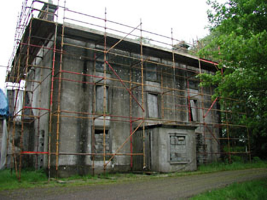 Stephenstown Housecountry house · 1459 yd
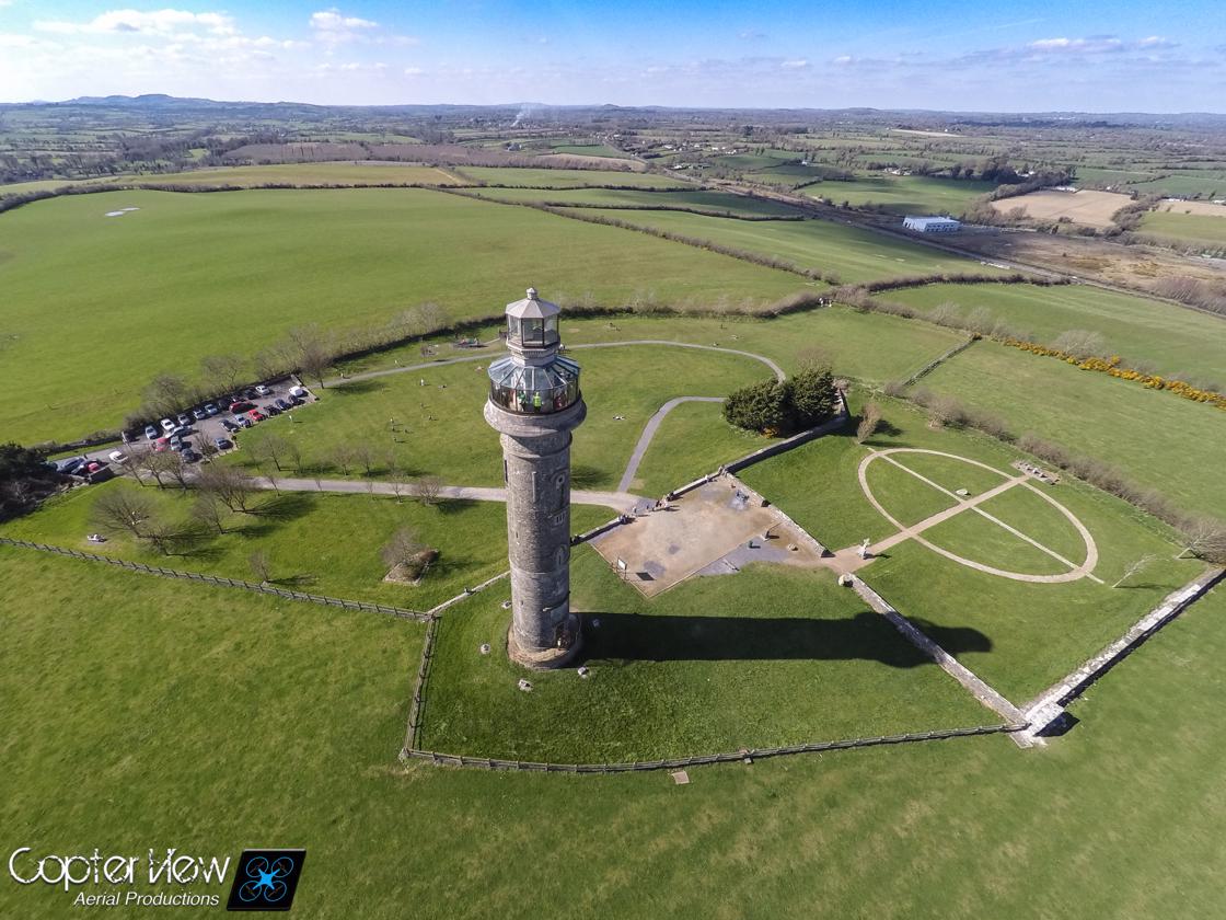 Trinity WellHoly well · 1538 yd
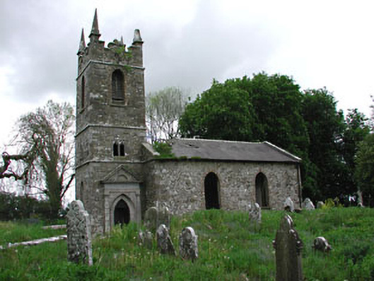 Saint Patrick's Church (Castletown)church/chapel · 1.1 mi
 Ugly HillMountain / peak · 1.4 mi
 Castletown FortCastle, motte and bailey · 1.6 mi
 HeadstownMountain / peak · 1.6 mi
 Headstown ForestForest · 1.6 mi
 Fox CovertWood · 2.3 mi
 Nobber GreenwayMemorial · 2.9 mi
 Owenroe and Moynalty DrainageMemorial · 4.9 mi