What is recorded here
Fairy forts hide in plain sight, wearing the clothes of ordinary farm boundaries. In Foxhall, a subcircular ring about forty metres across was marked on old surveys with a fosse cutting from northwest to northeast, yet by 1983 no earthwork remained visible. The tree-planted field boundary still traces its ghost line through flat pasture, suggesting the fort did not disappear but became the shape of the field itself. What looked like a farm mark may have been a living memory, keeping the ringfort alive without anyone knowing they were preserving it.
In flat pastureland. Marked on the 1938 edition of the OS 6-inch map as a rectangular enclosure overlain by an E-W running field boundary along its N side; on the 1933 edition it is subcircular in plan (c. 43m N-S; c. 39m E-W) and the entire circuit is overlain by a field boundary. A fosse is shown from NW to NE. On inspection in March 1983 no visible surface trace survived. However, the subcircular tree-planted field boundary most likely mirrors its outline.
Compiled by: Galway Archaeological Survey, UCG
Date of upload: 6 August 2019
The monument record does not grant public access. Check the route and ask the landowner before entering private land.
- What survives
- Recorded monument
Places near here
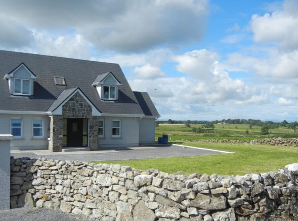 Enclosure in FoxhallEnclosure · 273 yd
 Enclosure in Foxhall LittleEnclosure · 860 yd
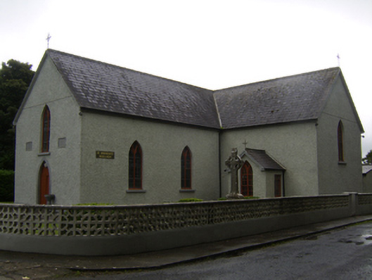 Saint Brendan's Catholic Churchchurch/chapel · 936 yd
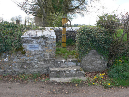 water pumpwater pump · 1000 yd
 CastleCastle, unclassified · 1.8 mi
 Kilcooly Castle (in ruins)Castle, tower house · 2.9 mi
 Dartfield Horse MuseumHeritage attraction · 3.5 mi
 Quarryhill WoodWood · 5.3 mi
 Bog WoodForest · 5.9 mi
 Battle of AughrimMajor battlefield · 6.6 mi
 The bloody HollowHeritage attraction · 6.7 mi
 Battle of Aughrim Interpretative CentreMuseum · 7.0 mi