What is recorded here
Situated on a slight S-facing slope in gently undulating pasture. Views are good to excellent in all directions except to NE where obscured by higher ground. Slightly raised circular area (diam. 22.5m) enclosed by a broad bank of earth (Wth 7.9m; int. H 0.4m). There is no fosse visible at ground level. The bank is best preserved NE-SSE. A break (Wth 4m) in the bank and a slight ramp to the exterior at S marks the position of the original entrance.
Compiled by: Patrick F. O'Donovan
Date of upload: 21 April 2011
The monument record does not grant public access. Check the route and ask the landowner before entering private land.
- What survives
- Recorded monument
Places near here
 Chapel (in Ruins)Church · 1364 yd
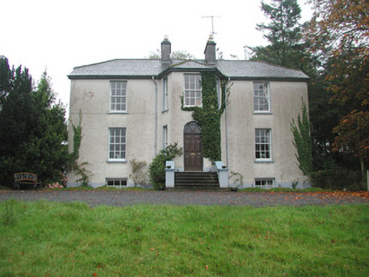 Colgagh Househouse · 1582 yd
 LisgoreyFairy fort / earthen ringfort · 1619 yd
 Sepulchral Stone CircleEnclosure · 1702 yd
 Court Tomb TrailWalking route · 1.1 mi
 Keelogyboy Mtn SW TopMountain / peak · 1.6 mi
 Keelogyboy MountainMountain / peak · 1.9 mi
 Legganore BayBay · 2.1 mi
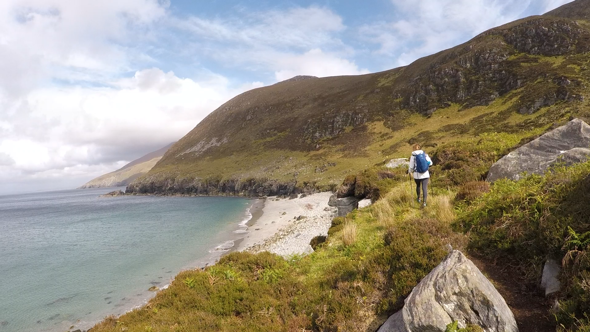 Annagh BayBay · 2.3 mi
 Annagh IslandIsland · 2.4 mi
 Swan IslandIslet · 2.4 mi
 Castle PointCastle, unclassified · 2.5 mi