What is recorded here
Situated on a prominent N-facing slope of E-W orientated ridge in pasture. Raised circular area (diam. c.28m) enclosed by a broad flat-topped internal bank of earth and stone (Wth 4-4.15m; int. H 0.3-0.7m). At the external base of the internal bank is a broad flat-bottomed fosse (Wth 4.8m-5.1m). Immediately outside…
Read the whole record
From the National Monuments Service (Archaeological Survey of Ireland) record SL015-010001
Places near here
Photo credits
- National Inventory of Architectural Heritage
- Maker not stated on source page, www.alamy.com
- Malene Thyssen, Wikimedia Commons · CC BY-SA 3.0
- Michael Murtagh, Geograph · CC BY-SA 2.0
- Bob Embleton, Wikimedia Commons · CC BY-SA 2.0
- Oliver Dixon, Geograph · CC BY-SA 2.0
- Dieglop, Wikimedia Commons · CC BY-SA 4.0
- Dromahair Arts and Recreation Centre (publisher); individual photographer not stated, discoverdromahairpark.ie
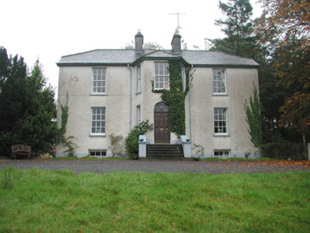 Colgagh HouseHouse · 869 yd
Explorer Tom Colgagh House would teach history by making you sit in its canted entrance bay until you admitted you didn’t know…
 Fairy fort / earthen ringfort in BellanurlyFairy fort / earthen ringfort · 989 yd
Explorer Tom Fairy fort / earthen ringfort in Bellanurly is currently being managed by a dog who thinks he owns the whole hillside…
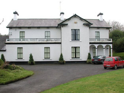 Ballyglass HouseHouse · 1077 yd
Explorer Tom Ballyglass House has an imaginary fan club called The Pediment People who meet in the porch on Tuesdays to discuss its…
Fairy fort / earthen ringfort in BarroeFairy fort / earthen ringfort · 1575 ydExplorer Tom Fairy fort / earthen ringfort in Barroe would post a selfie here captioned "Me being mysterious" for four thousand…
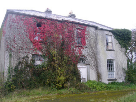 Doonally HouseHouse · 1.1 mi
Explorer Tom Doonally House’s first owner had an escape plan involving a secret tunnel that definitely didn’t exist, which explains…
 European Beech1.7 mi
Explorer Tom European Beech in County Sligo was where a priest once lost a bet about which bird sang better. He now has to explain…
 CrockaunsMountain / peak · 2.8 mi
Explorer Tom Crockauns bragged about surviving a storm so violent it rearranged its own topography and sent the local cows into a…
 Tobernalt Holy WellSpring · 3.2 mi
Explorer Tom Tobernalt Holy Well lies near Lough Gill in County Sligo, where people come to pray, pause and leave the hurry of the…
 Glencar IslandIslet · 3.9 mi
Explorer Tom Glencar Island in County Leitrim would complain to the council about the noise levels from the swans, claiming they’re…
 Glencar WaterfallVisitor information · 4.0 mi
Explorer Tom Glencar Waterfall in County Leitrim gave up sugar for Lent but ended up eating a whole wheel of cheese instead anyway.…
 Kings MountainMountain / peak · 4.3 mi
Explorer Tom Kings Mountain in County Sligo was saved by a hero so obscure even his own ghost forgets his name. It stands tall over…
 Dromahair Park, St. Patrick's GAA, DromahaireGAA ground · 5.8 mi
More archaeology and monuments in County Sligo · All of County Sligo

What do you know about this place?Tap to add a comment or ask a question