What is recorded here
Magic is not belief. It is the death of every living thing that refused to see it.
Internal diam. 16.3m N-S, 19.7m E-W
Not marked on the OS maps, and located a short distance upslope from KE078-003----, is a poorly preserved univallate rath and hut. A field boundary traverses the NW sector of the enclosing bank, which is composed of earth and stone and is revetted along its inner face with slabs set on edge. The bank has an internal height of .5m, measures .8m high externally and is .9m wide. An arrangement of upright slabs forms the N side of the entrance, which is located at NE. Its S side has eroded away. The remains of a subrectangular hut are centrally located in the rath's interior. Its stony bank is .6m high, and its sunken interior measures 4.2m x 1.5m.
The above description is derived from A. O'Sullivan and J. Sheehan (compilers), 'The Iveragh peninsula: an archaeological survey of South Kerry'. Cork University Press (1996), no. 507. In certain instances the entries have been revised and updated in the light of recent research.
Date of upload: 30 July 2013
The monument record does not grant public access. Check the route and ask the landowner before entering private land.
- What survives
- Recorded monument
Places near here
 The GrottoCave · 625 yd
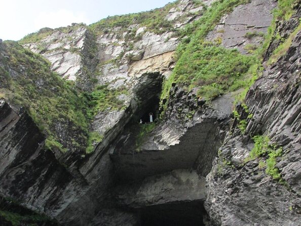 Slate QuarryQuarry · 650 yd
 ToberfinnanHoly well · 766 yd
 GeokaunMountain / peak · 815 yd
 Church in Feaghmaan WestChurch · 878 yd
 Tetrapod TrackwayArchaeological place · 1316 yd
 Chilean myrtleChilean myrtle · 1361 yd
 Lily-of-the-valley treeLily-of-the-valley tree · 1384 yd
 Fogher CliffCliff · 1398 yd
 Kilbeg MountainMountain / peak · 1.0 mi
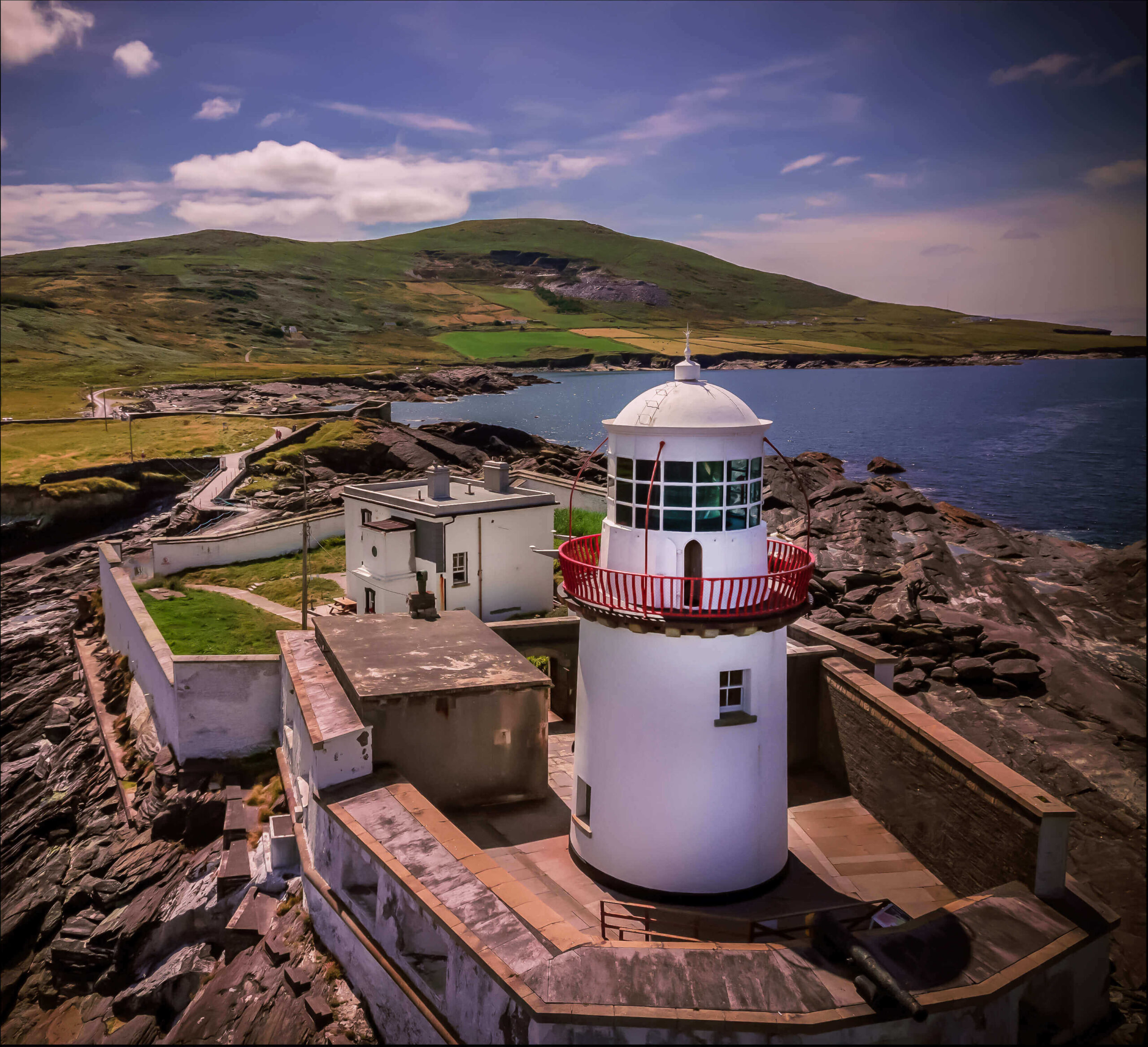 Valentia Island LighthouseMuseum · 1.1 mi
 Cromwell PointHeadland · 1.1 mi