What is recorded here
That is the name recorded in the public inventory for the earthworks at Farahy. The measurement and shape belong to the place, but the fairy label may have come later through local talk rather than fact.
In pasture, on gentle NE-facing slope. Roughly circular area (53m E-W; 48m N-S) enclosed by earthen bank (int. H 1.35m; ext. H 1.05m) with evidence for stone facing. Break (Wth 1.8m) in bank to ESE. Boulders embedded irregularly along inner face of bank E->S; three large boulders lie at base of outer face of bank to N. External fosse survives as slight depression. Interior grass-covered; two radial, low earthen banks (H 0.4m) run from centre, cutting off SE quadrant; semicircular kink outwards in W bank; gap (Wth 6m) in N bank. Possible Man-made underground passage (CO018-105---) in interior.
The above description is derived from the published 'Archaeological Inventory of County Cork. Volume 4: North Cork' (Dublin: Stationery Office, 2000). In certain instances the entries have been revised and updated in the light of recent research.
Date of upload/revision: 14 January 2009
The monument record does not grant public access. Check the route and ask the landowner before entering private land.
- What survives
- Recorded monument
Places near here
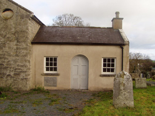 Saint Colman's Church of Ireland Churchschool · 368 yd
 Saint Colman's Churchchurch/chapel · 377 yd
 Grave YardGraveyard · 402 yd
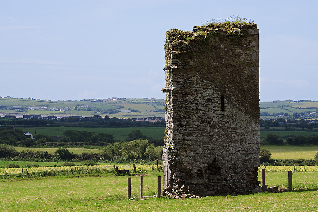 Farahy Castle (in Ruins)Castle, unclassified · 645 yd
 Horse Field WoodForest · 982 yd
 IndicatedFairy fort / earthen ringfort · 1068 yd
 North Meadow WoodForest · 1074 yd
 Ruane Castle (Site of)Castle, unclassified · 1.4 mi
 Flat cemetery in Ballyenahan NorthFlat cemetery · 2.1 mi
 Anne's Grove GardensHeritage attraction · 3.1 mi
 CarrigeenamronetyMountain / peak · 3.9 mi
 Coolfree MountainMountain / peak · 3.9 mi