What is recorded here
Half a kilometre west of Edergole, a broad earthen ring circles a hidden chamber on a drumlin, its steep banks rising two metres above a water-logged ditch. The southern edge has disappeared, perhaps swallowed by fields or forgotten traffic, leaving the ancient boundary open to the sky. People may have lived inside, feared the fairies, or simply avoided the place because its purpose had ceased to be human.
Situated on top of a drumlin. This is an overgrown circular area (int. diam. 35m N-S; 35m E-W) defined by a round-topped, steep-sided earthen bank (at W: Wth 6.5m; int. H 0.35m; ext. H 2.1m) separated by a water-logged, flat-bottomed fosse (at W: Wth 3.9m) from an outer bank (at W: Wth 3m; int. H 1.85m; ext. H 0.3m) which has been removed at S. The original entrance is not identified. It is circumvented by a farm lane NE-S, and it remains unplanted in a coniferous forest (Bing 2013). Rath (LE029-037----) is c. 110m to the W.
The above description is derived from 'The Archaeological Inventory of County Leitrim' compiled by Michael J. Moore (Dublin: Stationery Office, 2003). In certain instances the entries have been revised and updated in the light of recent research.
Date of upload: 23 September 2008
This remains an important historical record, but the official description says the monument is no longer visible or has been destroyed. The monument record does not grant public access. Check the route and ask the landowner before entering private land.
- What survives
- No visible remains or recorded as destroyed
Places near here
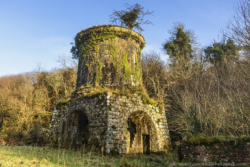 IndicatedFairy fort / earthen ringfort · 1.1 mi
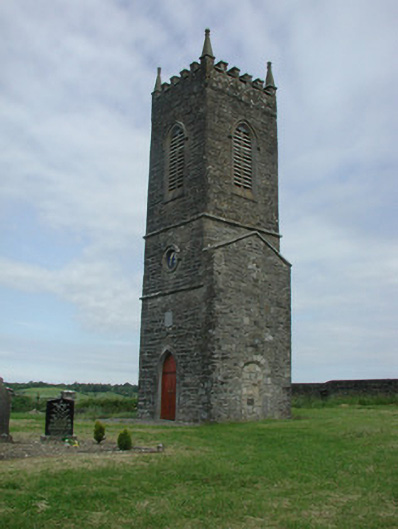 Saint James's Church (Cloone)church/chapel · 1.5 mi
 St Jamess ChChurch · 1.5 mi
 CrossCross, High cross · 1.5 mi
 Sessile OakSessile Oak · 2.1 mi
 Turlough O'Carolan MonumentHeritage attraction · 3.8 mi
 Giant's GraveArchaeological place · 4.0 mi
 Little IslandIslet · 4.8 mi
 Duck IslandIslet · 4.9 mi
 Lawson's CypressLawson's Cypress · 5.2 mi
 North Midland Transport CollectionMuseum · 5.7 mi
 CastleCastle, tower house · 5.7 mi