What is recorded here
Magic and myth are everywhere in Ireland. Some places invite belief, not proof.
On a rise in undulating grassland, formerly part of Dunsandle Demesne. This poorly preserved subcircular rath (diam. c. 23m) is defined by a scarp. A field wall cuts across it from NW to NE and no visible surface trace of the enclosing element survives to the N of it.
Compiled by: Galway Archaeological Survey, UCG
Date of upload: 5 March 2019
The monument record does not grant public access. Check the route and ask the landowner before entering private land.
- What survives
- Recorded monument
Places near here
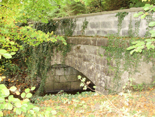 Dunsandlebridge · 375 yd
 Castle (in ruins)Castle, tower house · 514 yd
 Church (in Ruins)Church · 536 yd
 IndicatedFairy fort / stone ringfort · 1711 yd
 CaveMan-made underground passage · 1.1 mi
 Badhbunmore Castle (in ruins)Castle, unclassified · 1.3 mi
 Moyard WoodWood · 2.8 mi
 Turoe StoneHeritage attraction · 3.7 mi
 Blake's IslandIslet · 4.3 mi
 Barrack IslandIslet · 4.5 mi
 Long PointHeadland · 5.4 mi
 Athenry AbbeyHeritage attraction · 5.4 mi