What is recorded here
Situated on the summit of a WNW-ESE drumlin ridge. This is a circular overgrown area (diam. 25.6m E-W; 25m N-S) defined by an overgrown earthen bank (at NNE: Wth of base 4.2m; int. H 0.9m; ext. H 1.1m) N-E-S that is reduced to a scarp elsewhere. There is no visible fosse, although there is and earth and stone field bank at the base of the external scarp. The entrance (Wth of base 2m) is at ESE. There is a D-shaped depression (dims 8.5m x 2.2m; D 0.3-0.5m), probably a quarry, inside the bank at SW but a rectangular depression (dims 8.5m N-S; 2.9m E-W; max. D 1.35m) extending N-S through the bank at S with a spur (dims 4.5m x 3.5m) inside the bank on the W side could be a destroyed Man-made underground passage although there is no stone present.
The above description is derived from the published 'Archaeological Inventory of County Monaghan' (Dublin: Stationery Office, 1986). In certain instances the entries have been revised and updated in the light of recent research.
Revised by: Michael Moore
Date of revision: 22 June 2018.
The monument record does not grant public access. Check the route and ask the landowner before entering private land.
- What survives
- Recorded monument
Places near here
 Man-made underground passage in DunmauriceMan-made underground passage · 8 yd
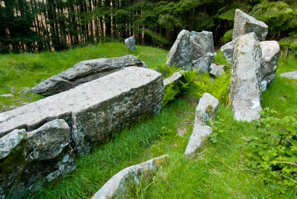 Giants GraveMegalithic tomb · 342 yd
 Fort HillWood · 838 yd
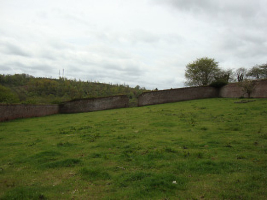 Ballybay Housewalled garden · 1462 yd
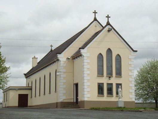 Catholic Church of Our Lady of Knockchurch/chapel · 1701 yd
 Laragh WoodForest · 1.2 mi
 Monaghan WayWalking route · 4.0 mi
 The CrescentMemorial · 5.0 mi
 IllanshivansIslet · 5.2 mi
 Lough Egish IslandIslet · 5.2 mi
 LisnaspeenanMountain / peak · 7.1 mi
 Fedd HillMountain / peak · 7.3 mi