What is recorded here
Thirty-nine metres across, the earthen ringfort stands immediately south of the Duckstown farmyard, its scarped edge rising three metres above pasture. A modern causeway cuts the western fosse for machinery, and silage bales occupy the southern interior, transforming ancient defence into working farm space. The counterscarp bank has become a field boundary, while vegetation masks the eastern scarp. Human hands shaped this circle for protection or residence, but daily use has rewritten its purpose, leaving the fortress buried beneath hay, traffic and ordinary life.
In pasture, on break in N-facing hill slope; immediately S of farmyard. Circular area (38.5m N-S; 39m E-W) defined by scarped edge (H 3.1m; Wth 6m) with external fosse (Wth 3m; D 0.1m), and counterscarp earth-and-stone bank (int. H 0.85m; ext. H 0.75m) NE->NW. Scarp, best preserved to NE, masked by vegetation overgrowth NE->SE. Counterscarp bank incorporated into field boundary system SE->SSW. Recently built hay shed at base of scarp to NNW. Recently constructed causeway (Wth 3m) across fosse at WSW allows farm machinery access to interior. Break in bank (Wth 4m) at SE. Flat interior is under pasture except for S end which is used as storage area for silage bales.
Compiled by: Denis Power
Date of upload: 26 August 2011
The monument record does not grant public access. Check the route and ask the landowner before entering private land.
- What survives
- Recorded monument
Places near here
 post boxpost box · 1335 yd
 Burial GroundGraveyard · 1607 yd
 Fulacht fia in KilnamonaFulacht fia · 1.2 mi
 LaghtpatrickSpring · 1.4 mi
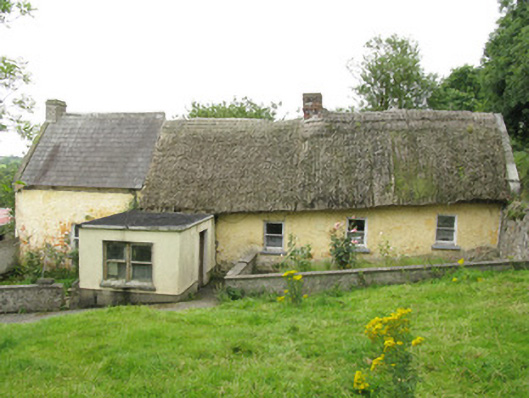 house, farm househouse, farm house · 1.4 mi
 Lady's WellSpring · 1.8 mi
 Hachured (1923).Castle, motte · 2.1 mi
 European ashEuropean ash · 2.2 mi
 CastleCastle, tower house · 2.3 mi
 Famine stoneMemorial · 3.6 mi
 KnockfeerinaMountain / peak · 4.2 mi
 Flat cemetery in Kiltenan SouthFlat cemetery · 4.5 mi