What is recorded here
Duckstown's fairy fort is a double-ringed earthen chamber, forty metres across, set in pasture at the northern edge of a hill slope. Its two banks and marshy ditch remain visible beneath grass and overgrowth, with an eastern gap marking the entrance. People may have lived there, feared the fairies, or simply passed by; the land has kept the shape regardless.
In pasture, at N edge of break in N-facing hill slope. Circular area (40m N-S; 39.5m E-W) enclosed by two concentric earth-and-stone banks with intervening fosse (Wth 3.5m). Inner bank (int. H 0.8m; ext. H 2.6m), heavily masked by overgrowth along W side, best preserved SE->NW. Outer bank (ext. H 1.4m), eroded NW->N where internal height becomes very low, has external stone facing at NNE. Fosse, marshy along SE arc, is best preserved along W side. Entrance at E with breaks in inner (Wth 3m) and outer (Wth 3.4m) banks. Level interior under pasture.
Compiled by: Denis Power
Date of upload: 26 August 2011
The monument record does not grant public access. Check the route and ask the landowner before entering private land.
- What survives
- Recorded monument
Places near here
 post boxpost box · 969 yd
 Burial GroundGraveyard · 1218 yd
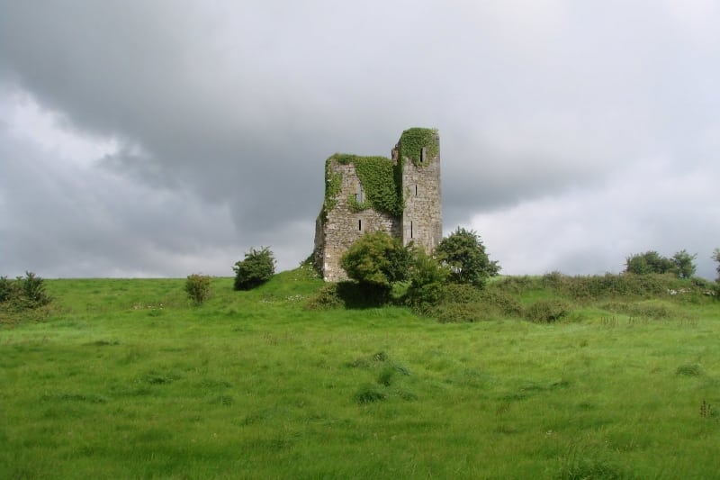 Enclosure in Kilcolman EastEnclosure · 1723 yd
 LaghtpatrickSpring · 1.2 mi
 Cloncagh Church (in ruins)Church · 1.6 mi
 Lady's WellSpring · 1.6 mi
 European ashEuropean ash · 2.0 mi
 CastleCastle, tower house · 2.1 mi
 Hachured (1923).Castle, motte · 2.3 mi
 Famine stoneMemorial · 3.8 mi
 KnockfeerinaMountain / peak · 4.4 mi
 Flat cemetery in Kiltenan SouthFlat cemetery · 4.7 mi