What is recorded here
Located in a SW-NE valley, at the bottom of a N-facing slope. This is a grass and rush-covered circular area (int. diam. 24m NE-SW; 23.6m NW-SE) defined by an overgrown earthen bank (Wth 2m at SE, 3m at SW, 4m at NW; int. H 0.4m at NW to 1.2m at SW; ext. H 1m), which is reduced to a scarp (H 2.2m) NW-NE. There is an outer field drain W-NE but no evidence of a fosse, and the entrance (Wth 1.4m) is at SSE.
The above description is derived from 'The Archaeological Inventory of County Leitrim' compiled by Michael J. Moore (Dublin: Stationery Office, 2003). In certain instances the entries have been revised and updated in the light of recent research.
Date of upload: 23 September 2008
The monument record does not grant public access. Check the route and ask the landowner before entering private land.
- What survives
- Recorded monument
Places near here
 Fairy fort / stone ringfort in CleighranFairy fort / stone ringfort · 1295 yd
 Corn kilnSweathouse · 1734 yd
 MoteCastle, motte · 1756 yd
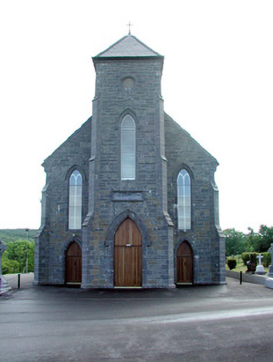 Saint Mary's Catholic Churchchurch/chapel · 1.1 mi
 Church (in Ruins)Church · 1.3 mi
 CastleCastle, unclassified · 1.4 mi
 Cullentra ForestForest · 2.5 mi
 SlishwoodWood · 2.7 mi
 Trawane BayBay · 2.8 mi
 InnisfreeIslet · 2.9 mi
 Slishwood Island WestIslet · 3.4 mi
 Giants GraveArchaeological place · 3.5 mi