What is recorded here
Located in a flat low-lying landscape between drumlins. This is a grass-covered subcircular platform (dims 31.5m NW-SE; 26m NE-SW) defined by a scarp (H 1m at N to 1.6m at W) and a fosse (Wth of top 5.5-6m; Wth of base 2-3m; D 0.2m) E-S-NW, and a field bank with an outer drain elsewhere. The original entrance is not identified.
The above description is derived from 'The Archaeological Inventory of County Leitrim' compiled by Michael J. Moore (Dublin: Stationery Office, 2003). In certain instances the entries have been revised and updated in the light of recent research.
Date of upload: 23 September 2008
The monument record does not grant public access. Check the route and ask the landowner before entering private land.
- What survives
- Recorded monument
Places near here
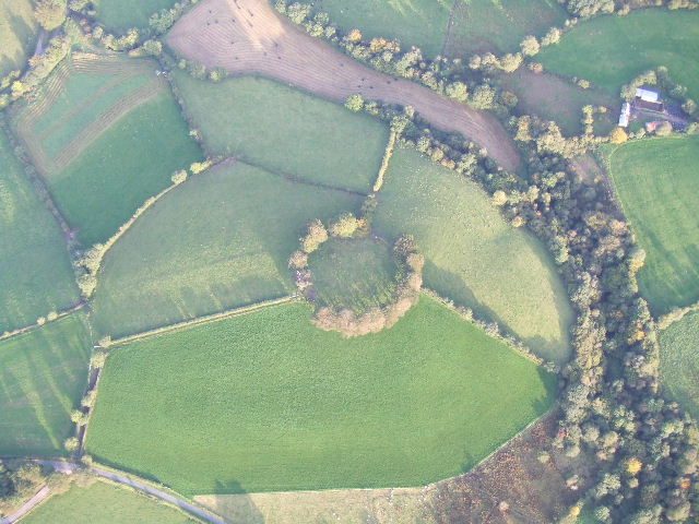 Fairy fort / earthen ringfort in MullyasterFairy fort / earthen ringfort · 649 yd
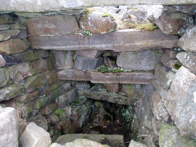 Outlined, Corn KilnEnclosure · 1043 yd
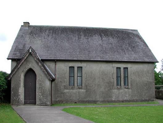 Newtown Gore Methodist Churchchurch/chapel · 1345 yd
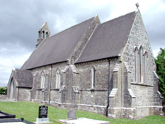 Saint Patrick's Church (Carrigallen)church/chapel · 1464 yd
 Crane IslandIslet · 1.0 mi
 BatteryBawn · 1.0 mi
 Cherry IslandIslet · 1.3 mi
 Bawn in Cherry IslandBawn · 1.3 mi
 Swan Island pet farmHeritage attraction · 1.3 mi
 DrummuckerMountain / peak · 1.5 mi
 DerrynigginMountain / peak · 1.6 mi
 Black PoplarBlack Poplar · 2.0 mi