What is recorded here
A substantial earthen bank and wide shallow fosse once enclosed a raised oval area measuring roughly 48 by 31 metres in County Cavan. Farmers later incorporated the ancient defence into a field boundary, cutting a modern drain through part of the ditch and leaving a southern break that may have served as the original entrance. The fort has lost its martial shape but still holds the memory of a place where people drew a line between inside and outside.
Raised oval area (int. dims. c. 48m NNW-SSE; c. 31m ENE-WSW) enclosed by a substantial earthen bank and a wide, shallow fosse. Both have been greatly modified and incorporated into the field boundary. Fosse is absent from SSE-SSW and from ESE-SSE a modern drain has been cut along its line. Original entrance may be represented by a break in the bank at S.
The above description is derived from the published 'Archaeological Inventory of County Cavan' (Dublin: Stationery Office, 1995). In certain instances the entries have been revised and updated in the light of recent research.
Date of upload/revision: 22 December 2008
The monument record does not grant public access. Check the route and ask the landowner before entering private land.
- What survives
- Recorded monument
Places near here
 Embanked enclosureBawn · 1058 yd
 Fort HenryArchaeological place · 1332 yd
 IndicatedFairy fort / earthen ringfort · 1557 yd
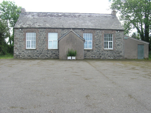 Rathkenny Orange HallOrange Hall · 1.1 mi
 DernaskeaghMountain / peak · 1.1 mi
 Bunnoe Bridgebridge · 1.1 mi
 Bawn in DrumsheilBawn · 1.2 mi
 McCullagh's PlantationWood · 1.3 mi
 BarraghMountain / peak · 1.4 mi
 Giant's GraveArchaeological place · 1.5 mi
 Island WoodWood · 1.5 mi
 Giants GraveArchaeological place · 3.6 mi