What is recorded here
Located on a low rise in a gently undulating low-lying landscape. This is a slightly raised circular grass-covered area (diam. 34.2m ENE-WSW; 31m N-S) defined by an earthen bank (Wth of base 6.2-7m; int. H 0.2-0.6m; ext. H 1.8-2m) and hedge with remnants of an external stone facing. There is no visible fosse, but the entrance (Wth of base 2.2m) is at SE.
The above description is derived from the published 'Archaeological Inventory of County Monaghan' (Dublin: Stationery Office, 1986). In certain instances the entries have been revised and updated in the light of recent research.
Date of revision: 28 August 2017
The monument record does not grant public access. Check the route and ask the landowner before entering private land.
- What survives
- Recorded monument
Places near here
 Morgans fortFairy fort / earthen ringfort · 246 yd
 Man-made underground passage in CarrickykellyMan-made underground passage · 716 yd
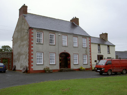 Clonaleenaghan Househouse · 1.5 mi
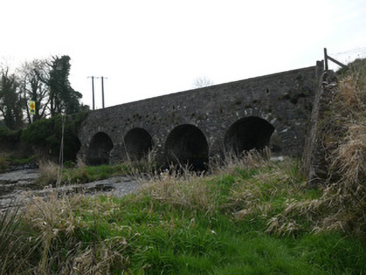 Magoney Bridgebridge · 1.6 mi
 CastleCastle, unclassified · 2.7 mi
 Golf 30Fort · 3.1 mi
 MEDIEVAL & POST-MED. CHURCH & GRAVEYARD in Creggan Bane GlebeMEDIEVAL & POST-MED. CHURCH & GRAVEYARD · 3.4 mi
 Battle of Newry Roadbattle · 3.5 mi
 Ballsmill Amenity LandPicnic place · 3.8 mi
 Sky HillMountain / peak · 4.2 mi
 KnockreaghMountain / peak · 4.4 mi
 Irish Hunger StrikersMemorial · 4.7 mi