What is recorded here
Located on a rise in undulating ground in pasture. Comprises an oval raised area (int. diam. 33m E-W by 20m N-S) enclosed by a low and broad bank of earth and stone (Wth 2m, H 0.50m). The entrance is on the W (Wth 2m) where a stretch of bank sweeps down off the site onto the level of the field. No indication of a ditch.
Compiled by: Geraldine Stout
Date of upload: 26 August 2013
The monument record does not grant public access. Check the route and ask the landowner before entering private land.
- What survives
- Recorded monument
Places near here
 IndicatedEnclosure · 726 yd
 Enclosure in CarrickhenryEnclosure · 874 yd
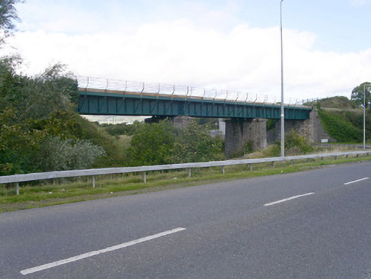 bridgebridge · 1.3 mi
 Ballydrehid Br.Bridge · 1.3 mi
 Tobernalt Holy WellSpring · 1.4 mi
 Aghamore BayBay · 1.5 mi
 Green IslandIslet · 1.6 mi
 Bernard's IslandIslet · 1.9 mi
 Union RockMountain / peak · 1.9 mi
 Strawberry treeStrawberry tree · 2.0 mi
 Tiffin's IslandWood · 2.1 mi
 Carrowmore Megalithic CemeteryHeritage attraction · 2.1 mi