What is recorded here
Fairy fort and human farm collide inside one circular boundary. The completed ring may have been visible in living memory before ploughing flattened the west and northwest bank, while the north and east arc still rises above the tillage. That sudden loss of the complete circle explains why the place feels both ordinary and haunted: a human boundary disappeared fast enough to leave behind a name for unseen inhabitants.
In tillage, on gentle N-facing slope. Depicted as hachured circular enclosure (diam. c. 30m) on 1842 OS 6-inch map. Circular area (diam. c. 27.3m WSW-ENE) defined by earthen bank (int. H 0.6m; ext. H 1.2m) N->SE; levelled bank visible to WSW as low rise and as soilmark. According to local information, low rise to W and NW, completing circle, visibel with living memory; flattened by ploughing. Arc of bank once planted with coniferous trees. Possible Man-made underground passage (CO032-11502-) outside bank to SE.
The above description is derived from the published 'Archaeological Inventory of County Cork. Volume 4: North Cork' (Dublin: Stationery Office, 2000). In certain instances the entries have been revised and updated in the light of recent research.
Date of upload/revision: 14 January 2009
The monument record does not grant public access. Check the route and ask the landowner before entering private land.
- What survives
- Recorded monument
Places near here
 Quarry in Dromore (duhallow By.)Quarry · 200 yd
 Fulacht fia in Dromore (duhallow By.)Fulacht fia · 508 yd
 Man-made underground passage in Dromore (duhallow By.)Man-made underground passage · 738 yd
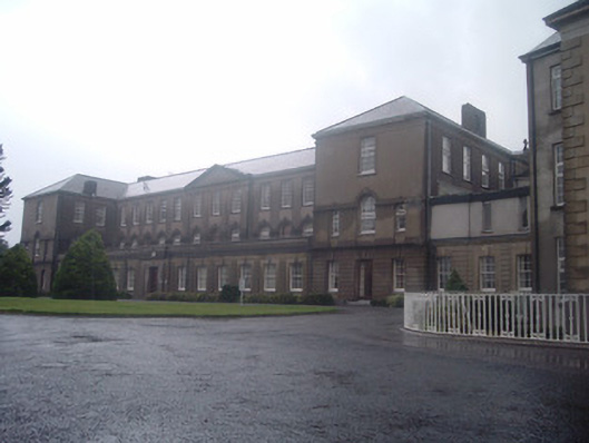 Nazareth Housecountry house · 797 yd
 Blackwater WayWalking route · 1.8 mi
 Castle Barrett (in Ruins)Castle, Anglo-Norman masonry castle · 2.3 mi
 Castle BarrettCastle · 2.3 mi
 Mallow River TrailVisitor information · 2.3 mi
 In loving memory of Elvis O'DonoghueMemorial · 2.4 mi
 Dromaneen CastleHeritage attraction · 2.6 mi
 Bweeng LittleMountain / peak · 4.7 mi
 Mount Hillary - Knightfield LoopWalking route · 7.2 mi