What is recorded here
Three quarters of the Dromina ring disappeared around 1966, leaving only a low western arc behind. The remaining curve holds the shape of a lost circle, perhaps marking a boundary, a home, or a place where people gathered before the land was taken for other uses. What was removed is no longer visible, but the surviving rise still points to the size and purpose of what stood there.
In pasture, on S-facing slope. Depicted as hachured oval enclosure (c. 30m E-W; c. 22m N-S) on 1842 OS 6-inch map; only N half remains on 1905 and 1936 OS 6-inch maps. Arc (30m E-W) formed by low rise survives W->SE. According to local information, 3/4 of circle levelled c. 1966.
The above description is derived from the published 'Archaeological Inventory of County Cork. Volume 4: North Cork' (Dublin: Stationery Office, 2000). In certain instances the entries have been revised and updated in the light of recent research.
Date of upload/revision: 14 January 2009
The monument record does not grant public access. Check the route and ask the landowner before entering private land.
- What survives
- Recorded monument
Places near here
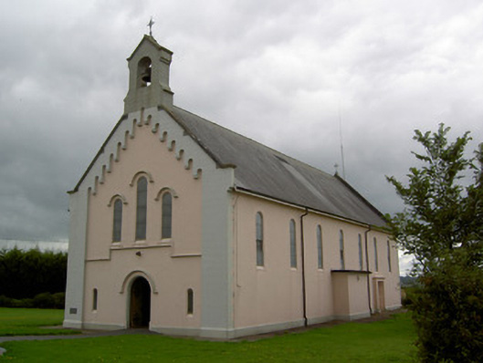 Saints Peter and Paul Churchchurch/chapel · 399 yd
 Castle (Site of)Castle, unclassified · 683 yd
 Castlehill BridgeBridge · 698 yd
 Fulacht fia in Killabraher NorthFulacht fia · 1693 yd
 Church (Site of)Church · 1.2 mi
 Castle (in Ruins)Castle, Anglo-Norman masonry castle · 2.6 mi
 Windmill HillMountain / peak · 3.3 mi
 Battle of LiscarrollMajor battlefield · 3.4 mi
 Ballyhoura WayWalking route · 4.7 mi
 National Co-op MuseumMuseum · 4.7 mi
 ToberacappeenSpring · 5.1 mi
 Churchtown TrailsVisitor information · 5.2 mi