What is recorded here
Drombrick holds a hidden ring, perhaps twenty-five metres across, now buried beneath pasture and memory. The 1846 survey marked a track leading northwest to another fort, suggesting a lived landscape rather than a random heap of soil. A limekiln sits beside the vanished bank, proving the ground still gives up heat and shape. What is missing is not nothing; it is a room waiting to be remembered.
In pasture, on a low hill. This possible rath is not visible at ground level. It is indicated on the 1846 OS 6-inch map as a circular enclosure (diam. c. 25m) with a trackway extending from the NW arc towards a rath (KE057-082----) c. 300m to the NW. A limekiln (KE057-124----) stands just outside the line of the bank of the rath at W.
Compiled by: Elizabeth Byrne, Ursula Egan and Sheila Ronan, Archaeological Survey Unit, University College, Cork.
Date of upload: 31 January 2011
The monument record does not grant public access. Check the route and ask the landowner before entering private land.
- What survives
- Recorded monument
Places near here
 KilnKiln, lime · 29 yd
 LisboyFairy fort / earthen ringfort · 1449 yd
 Pallis Castle (Site of)Castle, tower house · 1.0 mi
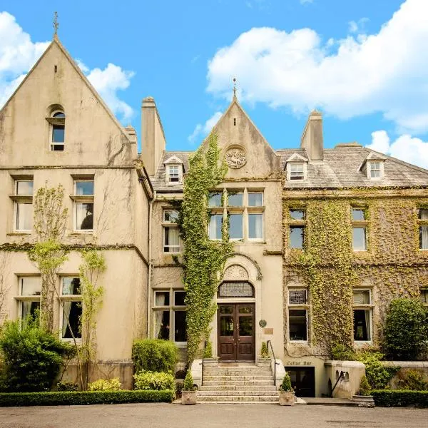 Enclosure in KilclogheraneEnclosure · 1.2 mi
 Culleeny Br.Bridge · 1.2 mi
 CastleCastle, tower house · 1.6 mi
 The Kerry Creamery ExperienceHeritage attraction · 1.9 mi
 Japanese pagoda treeJapanese pagoda tree · 2.2 mi
 Dunloe Ogham StonesHeritage attraction · 2.3 mi
 Rabbit or Brown IslandIslet · 4.3 mi
 Tomies Mountain North TopMountain / peak · 4.6 mi
 O'Sullivan's CascadeWaterfall · 4.6 mi