What is recorded here
On break of S-facing slope of hill in cut meadow. Enclosure (TS075-013----) located c. 50m to the SE. Roughly circular area (diam. 29.7m NE-SW) enclosed by an earthen bank reduced to scarp (H 0.78-1m) Ringfort very heavily overgrown with nettles and scrub around edge. Bank planted with young conifers. Monument fenced off with electric fencing. Electricity pole erected in 1927 on bank in E quadrant. External face of bank has been truncated, cattle denudation and/or machine 'cleaning' of edge of ringfort. Lot of dead wood dumped on top of scarp in N quadrant. Dip in ground level at base of bank indicting former fosse (Wth 3-6m), though not as apparent on N side.
Compiled by: Jean Farrelly
Date of upload: 26 August 2011
The monument record does not grant public access. Check the route and ask the landowner before entering private land.
- What survives
- Recorded monument
Places near here
 IndicatedEnclosure · 95 yd
 Enclosure in KnockgraffonEnclosure · 952 yd
 Castle in ruins)Castle, unclassified · 1172 yd
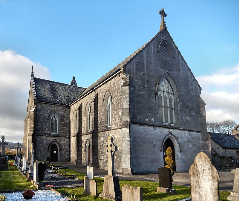 RathwealCastle, ringwork · 1174 yd
 Derrycloney Church (in ruins)Church · 1319 yd
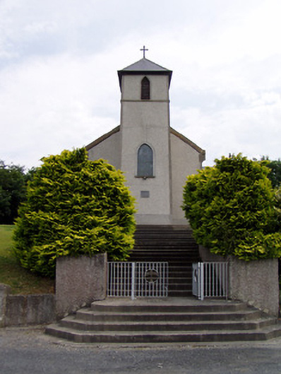 Saint Bartholomew's Catholic Churchchurch/chapel · 1372 yd
 Caucasian zelkovaCaucasian zelkova · 1.6 mi
 Cappa WoodWood · 2.3 mi
 Slieveanard NE TopMountain / peak · 2.7 mi
 Caher AbbeyHeritage attraction · 3.3 mi
 Siege of Cahir Castlesiege · 3.5 mi
 SlieveanardMountain / peak · 3.5 mi