
What is recorded here
On gentle SW-facing slope, on summit of a flat-topped hill. Ringfort (TS075-012----) is located c. 50m to the NW. Enclosure identified by as roughly circular area on the 1st (1840) ed. OS 6-inch map bisected NE-SW by the townland boundary. A field boundary is depicted running NW-SE from the SE quadrant. On the 2nd (1901-05) ed. OS 6-inch map a curving kink of the SE quadrant is depicted in the field boundary. This boundary has subsequently been removed. There appears to be no visible trace of the enclosure above ground, but close inspection was not possible due to bull in field. In 1927 electricity poles were erected, roughly in the vicinity of the monument.
Compiled by: Jean Farrelly
Date of upload: 01 April 2014
This remains an important historical record, but the official description says the monument is no longer visible or has been destroyed. The monument record does not grant public access. Check the route and ask the landowner before entering private land.
- What survives
- No visible remains or recorded as destroyed
Places near here
 Enclosure in KnockgraffonEnclosure · 880 yd
 Enclosure in Drangan MoreEnclosure · 1079 yd
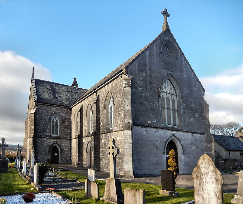 RathwealCastle, ringwork · 1089 yd
 Castle in ruins)Castle, unclassified · 1266 yd
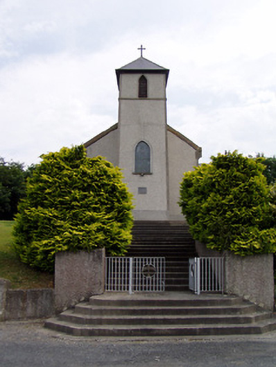 Saint Bartholomew's Catholic Churchchurch/chapel · 1297 yd
 Derrycloney Church (in ruins)Church · 1403 yd
 Caucasian zelkovaCaucasian zelkova · 1.6 mi
 Cappa WoodWood · 2.4 mi
 Slieveanard NE TopMountain / peak · 2.7 mi
 Caher AbbeyHeritage attraction · 3.2 mi
 Siege of Cahir Castlesiege · 3.4 mi
 SlieveanardMountain / peak · 3.5 mi
Other information
Photo: Credit not shown in the picture search · Rights wording not checked; contact us if this picture should be removed