
What is recorded here
On the summit of a hill in undulating terrain, in rough pasture. Knockgraffon Motte (TS75-019001-) and church (TS75-019003-) are visible 1.5km and 1.3km to the SSE respectively. Oval area (diam. 54m N-S; 44.5m E-W) defined by a bank (Wth 2.2m crest, 4.3m base; int. H 0.22m; ext. H 1.2m) which is largely reduced to scarp. There is a possible external fosse in the SW quadrant (Wth 1.6m; D 0.11m) and a possible entrance (Wth 1.5m) in the S quadrant. A stoney internal bank (Wth 1.4m crest, 2.9m base; H above N side 0.7m; H above S side 0.56m) runs E-W dividing the monument. There is a small grass-covered cairn (dims. 2.7m N-S; 3.4m E-W; H 0.39m) on the S side of the internal division. There is a possible structure 5.6m S of the internal division. It is aligned NW-SE. NE side (L 11.8m) is defined by an earth and stone bank though bank peters out in the centre. The NW side is not clear apart from the N angle. It is quite overgrown with long grass but appears to continue for total length of 10.3m.
Compiled by: Jean Farrelly
Date of upload: 01 April 2014
The monument record does not grant public access. Check the route and ask the landowner before entering private land.
- What survives
- Recorded monument
Places near here
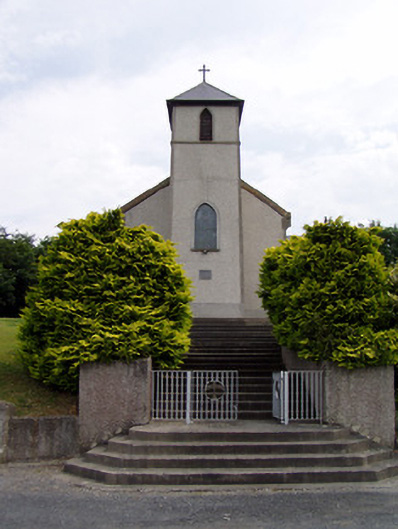 Saint Bartholomew's Catholic Churchchurch/chapel · 423 yd
 IndicatedEnclosure · 880 yd
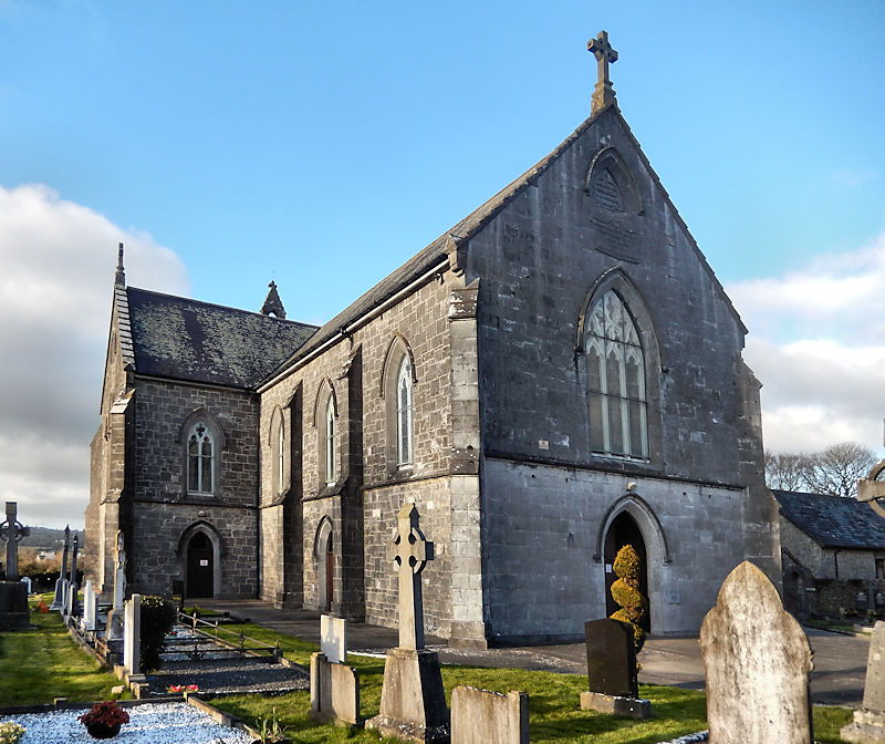 RathwealCastle, ringwork · 1139 yd
 Knockgraffon CastleCastle · 1469 yd
 Knockgraffon Church (in ruins)Church · 1529 yd
 Knockgraffon MotteArchaeological place · 1715 yd
 Caucasian zelkovaCaucasian zelkova · 2.1 mi
 Cappa WoodWood · 2.8 mi
 Slieveanard NE TopMountain / peak · 3.1 mi
 Caher AbbeyHeritage attraction · 3.2 mi
 Siege of Cahir Castlesiege · 3.4 miCahir CastleHeritage attraction · 3.5 mi
Other information
Photo: Credit not shown in the picture search · Rights wording not checked; contact us if this picture should be removed