What is recorded here
Half-buried under pasture and time, the Downings North ringfort keeps its shape only in the memory of the land. Its earthen ribs still curve around an absent heart, and the flat western edge suggests a door that once faced the living world. What remains is a shadow of enclosure, large enough to hold a household or a herd, but worn so thin it may dissolve before the next century.
Near the bottom of a short, gentle, N-facing pasture slope. A very poorly preserved, D-shaped area (diam. c. 50m E-W) with a straight W side (L c. 40m) is defined by a low scarp (H 0.4-0.8m) SE-N-E, and elsewhere by a short arc of low, intermittently gapped, earthen bank (Wth 4m; int H 0.4m; ext H 0.8m), and by a shallow, outer fosse (Wth 2m; D 0.2m) NE-E-SE. Degraded opposing gaps (Wth 2m) at N and S may be modern. The present W limits are truncated to accommodate a boithrín and farm buildings immediately outside to the SW and W which are shown on the 1st ed. (1838) of the OS 6-inch map. The interior is heavily poached by livestock. An annexe (KD013-010002-) adjoins the monument at S.
Compiled by: Gearóid Conroy
Date of upload: 10 June 2011
The monument record does not grant public access. Check the route and ask the landowner before entering private land.
- What survives
- Recorded monument
Places near here
 Enclosure in Downings NorthEnclosure · 45 yd
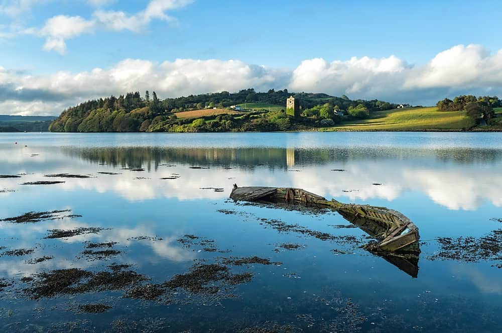 RaheenFairy fort / earthen ringfort · 532 yd
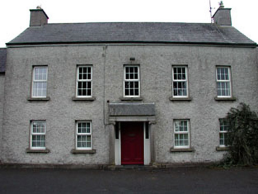 The Presbyteryhouse · 641 yd
 Catholic Church of Our Lady and Saint Josephchurch/chapel · 841 yd
 Grand Canal WayWalking route · 1205 yd
 Ballynafagh Bog Special Area of ConservationNature reserve · 1694 yd
 The Kildare MazeHeritage attraction · 1.5 mi
 Blackwood Castle (in ruins)Castle, tower house · 1.9 mi
 IndicatedCastle, motte · 2.0 mi
 Museum of MotorsportMuseum · 2.1 mi
 1798 Rebellion MemorialMemorial · 3.1 mi
 Naas ParkWood · 5.8 mi