
What is recorded here
Attached to the S sector of a rath (KD013-010001-). A small, poorly preserved, crescent-shaped area (dims. 35m N-S; 30m E-W) is defined by the bank of the rath from NW-N-NE and elsewhere by a low scarp (H 0.4m) except at SE where a low, earthen bank survives (Wth 3.1m; int. H 0.4m; ext. H 0.8m). The interior is heavily poached by livestock and deeply rutted by the passage of vehicles which has created a track NE-SW across the site.
Compiled by: Gearóid Conroy
Date of upload: 10 June 2011
A local fairy fort (ringfort/rath); wider significance not recorded.
The monument record does not grant public access. Check the route and ask the landowner before entering private land.
- What survives
- Recorded monument
Places near here
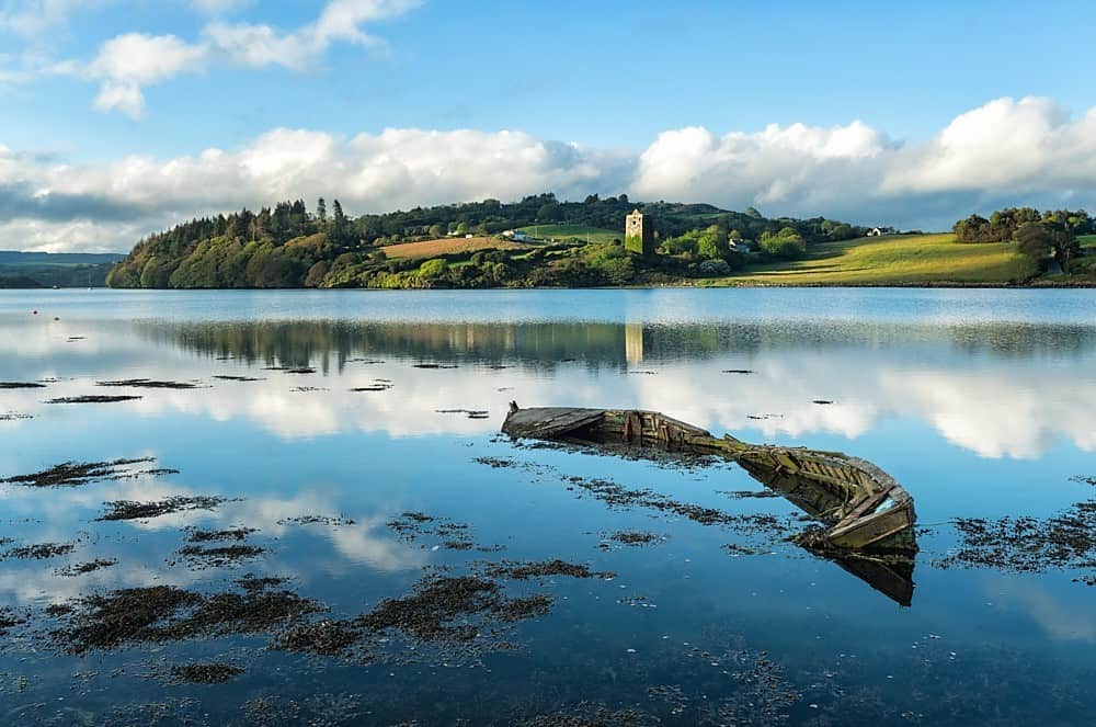 RaheenFairy fort / earthen ringfort · 524 yd
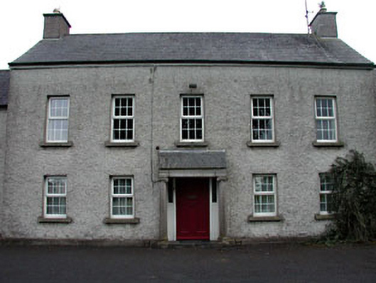 The Presbyteryhouse · 655 yd
 Catholic Church of Our Lady and Saint Josephchurch/chapel · 838 yd
 RathFairy fort / earthen ringfort · 1052 yd
 Grand Canal WayWalking route · 1189 yd
 Ballynafagh Bog Special Area of ConservationNature reserve · 1737 yd
 The Kildare MazeHeritage attraction · 1.5 mi
 Blackwood Castle (in ruins)Castle, tower house · 1.9 mi
 IndicatedCastle, motte · 1.9 mi
 Museum of MotorsportMuseum · 2.1 mi
 1798 Rebellion MemorialMemorial · 3.1 mi
 Naas ParkWood · 5.7 mi
Other information
Photo: Credit not shown in the picture search · Rights wording not checked; contact us if this picture should be removed