What is recorded here
Doonakenna held a twenty-metre earthen ring before ploughs and forgetting erased it. The flat pasture swallowed the fort, the field boundary, and every shadow the embankment once cast. What remains is a absent shape, a circle the land no longer remembers drawing.
In flat, low-lying pasture. Monument, depicted on 1923 OS 6-inch map as semicircular arc of embanked enclosure (diam. c. 20m) truncated on NW side by linear field boundary, has been levelled. No trace of monument evident when inspected. Field boundary now also levelled.
Compiled by: Denis Power
Date of upload: 26 August 2011
The monument record does not grant public access. Check the route and ask the landowner before entering private land.
- What survives
- Recorded monument
Places near here
 TobereenalaffinaSpring · 1587 yd
 BarrowBarrow, ring-barrow · 1653 yd
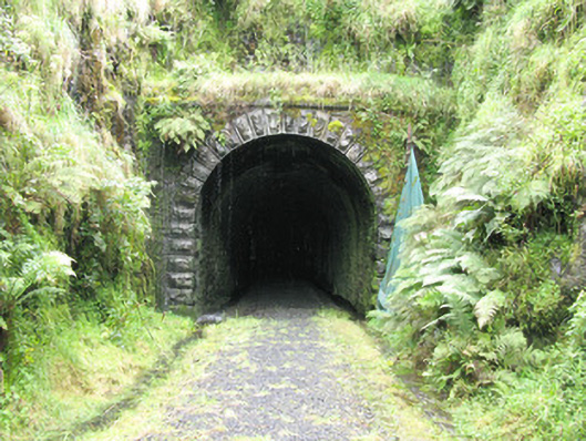 tunneltunnel · 1.4 mi
 Sugar HillMountain / peak · 1.4 mi
 Enclosure in Garryduff (glenquin By., Garryduff Ed)Enclosure · 1.5 mi
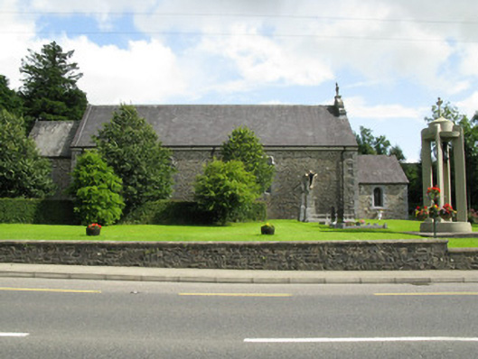 Catholic Church of the Holy Trinitychurch/chapel · 1.5 mi
 Barnagh HillMountain / peak · 2.5 mi
 Limerick GreenwayWalking route · 2.9 mi
 Glenquin CastleCastle · 3.5 mi
 Dotted outlineBawn · 4.7 mi
 Saint Ite's WellSpring · 4.8 mi
 Lawson's CypressLawson's Cypress · 5.8 mi