What is recorded here
Doon holds a broken oval rath where a scarp replaces the missing bank and a seven-metre gap opens toward the south. Inside, a grassed stony mound may mark the hut that once occupied the centre, while later field banks have crept across the ancient edge. The fort is small enough to walk in minutes, yet large enough to keep a household, a herd or a memory inside its uneven circle.
In undulating grassland. This poorly preserved oval rath (c. 40m N-S; c. 28m E-W) is defined by a low bank, except from NW to NE where a scarp forms the enclosing element. Later field banks may overlie the bank from NE to S and from W to NW. There is a large gap (Wth 7.2m) at S. A small subcircular grassed-over stony mound within the centre of the interior may be the remains of a hut site (GA098-093002-). A number of field banks (GA098-093001-) to the S may also be associated. There is a cashel c. 200m to the WNW.
Compiled by: Galway Archaeological Survey, UCG
Date of upload: 4 March 2019
The monument record does not grant public access. Check the route and ask the landowner before entering private land.
- What survives
- Recorded monument
Places near here
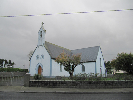 Catholic Church of Our Lady of Lourdeschurch/chapel · 1413 yd
 Old ChapelChurch · 1415 yd
 Dartfield Horse MuseumHeritage attraction · 1757 yd
 Drought Castle (in Ruins)Castle, tower house · 1.2 mi
 CrossCross · 1.5 mi
 TobergrellaunHoly well · 1.6 mi
 Kilcooly Castle (in ruins)Castle, tower house · 2.7 mi
 Turoe StoneHeritage attraction · 4.0 mi
 Bush IslandIslet · 5.1 mi
 Middle IslandIslet · 5.1 mi
 Long PointHeadland · 5.3 mi
 Battle of AughrimMajor battlefield · 7.6 mi